Distance to Malaga, Washington

Calculating Your Route
Just a moment while we process your request...
Location Information
-
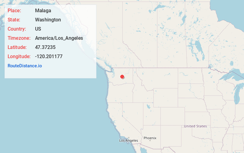
Full AddressMalaga, WA 98828
-
Coordinates47.3723503, -120.2011769
-
LocationMalaga , Washington , US
-
TimezoneAmerica/Los_Angeles
-
Current Local Time9:17:12 PM America/Los_AngelesTuesday, June 3, 2025
-
Page Views0
About Malaga
Malaga is an unincorporated community in Chelan County, Washington, United States. Founded in 1903, Malaga is located on the Columbia River 6.5 miles east-southeast of Wenatchee. Malaga has a post office with ZIP code 98828.


Nearby Places
Found 10 places within 50 miles

Rock Island
2.7 mi
4.3 km
Rock Island, WA
Get directions

Wenatchee Heights
4.1 mi
6.6 km
Wenatchee Heights, WA 98801
Get directions

South Wenatchee
4.2 mi
6.8 km
South Wenatchee, WA
Get directions

Voltage
5.2 mi
8.4 km
Voltage, WA 98850
Get directions

East Wenatchee
5.2 mi
8.4 km
East Wenatchee, WA 98802
Get directions

Wenatchee
6.2 mi
10.0 km
Wenatchee, WA 98801
Get directions

West Wenatchee
8.7 mi
14.0 km
West Wenatchee, WA 98801
Get directions

Sunnyslope
9.4 mi
15.1 km
Sunnyslope, WA 98801
Get directions

Monitor
12.9 mi
20.8 km
Monitor, WA 98815
Get directions

Adrian
13.3 mi
21.4 km
Adrian, WA 98845
Get directions
Location Links
Local Weather
Weather Information
Coming soon!
Location Map
Static map view of Malaga, Washington
Browse Places by Distance
Places within specific distances from Malaga
Short Distances
Long Distances
Click any distance to see all places within that range from Malaga. Distances shown in miles (1 mile ≈ 1.61 kilometers).