Distance to Malcom, Iowa

Calculating Your Route
Just a moment while we process your request...
Location Information
-
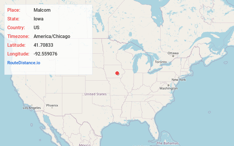
Full AddressMalcom, IA 50157
-
Coordinates41.7083302, -92.559076
-
LocationMalcom , Iowa , US
-
TimezoneAmerica/Chicago
-
Current Local Time10:20:33 PM America/ChicagoThursday, June 19, 2025
-
Page Views0
About Malcom
Malcom is a city in Poweshiek County, Iowa, United States. The population was 270 at the time of the 2020 census. The city was named for an early Scotch settler. The town's major businesses include BASF, The Pour House Bar and Grill, and Dayton Meat Products.

Nearby Places
Found 10 places within 50 miles

Brooklyn
6.1 mi
9.8 km
Brooklyn, IA 52211
Get directions

Montezuma
8.6 mi
13.8 km
Montezuma, IA 50171
Get directions

Grinnell
8.8 mi
14.2 km
Grinnell, IA 50112
Get directions

Holiday Lake
9.5 mi
15.3 km
Holiday Lake, IA 52211
Get directions

Deep River
13.0 mi
20.9 km
Deep River, IA 52222
Get directions

Victor
13.6 mi
21.9 km
Victor, IA 52347
Get directions
Lynnville
14.7 mi
23.7 km
Lynnville, IA 50153
Get directions
Gilman
16.7 mi
26.9 km
Gilman, IA 50106
Get directions

Chelsea
16.9 mi
27.2 km
Chelsea, IA 52215
Get directions
Sully
17.3 mi
27.8 km
Sully, IA 50251
Get directions
Location Links
Local Weather
Weather Information
Coming soon!
Location Map
Static map view of Malcom, Iowa
Browse Places by Distance
Places within specific distances from Malcom
Short Distances
Long Distances
Click any distance to see all places within that range from Malcom. Distances shown in miles (1 mile ≈ 1.61 kilometers).