Distance to Manannah, Minnesota

Calculating Your Route
Just a moment while we process your request...
Location Information
-
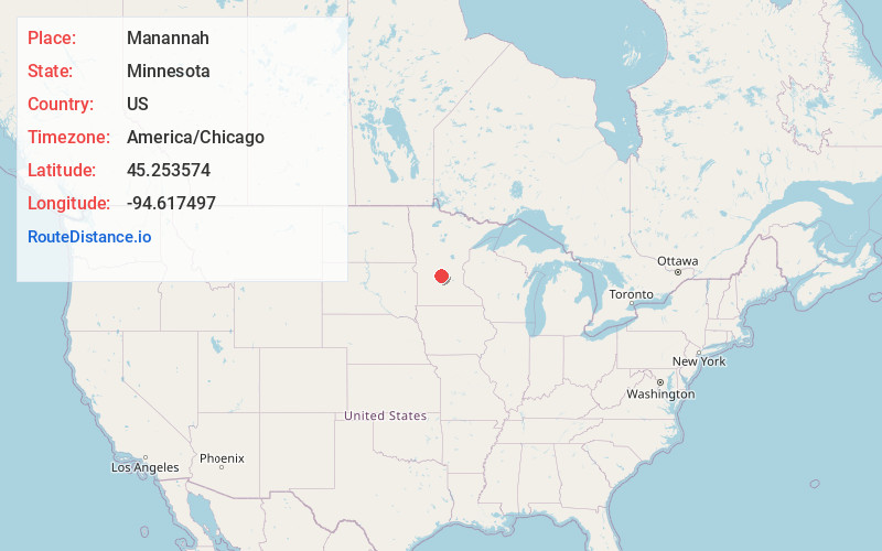
Full AddressManannah, MN 56243
-
Coordinates45.2535744, -94.6174971
-
LocationManannah , Minnesota , US
-
TimezoneAmerica/Chicago
-
Current Local Time12:07:43 AM America/ChicagoWednesday, June 25, 2025
-
Page Views0
About Manannah
Manannah is an unincorporated community in Manannah Township, Meeker County, Minnesota, United States. The community is located near the junction of Meeker County Roads 3 and 30. Nearby places include Eden Valley, Grove City, Paynesville, and Litchfield. State Highways 4 and 22 are also in the immediate area.
Nearby Places
Found 10 places within 50 miles

Eden Valley
6.1 mi
9.8 km
Eden Valley, MN 55329
Get directions

Grove City
7.8 mi
12.6 km
Grove City, MN 56243
Get directions

Forest City
8.0 mi
12.9 km
Forest City, MN 55355
Get directions

Litchfield
9.8 mi
15.8 km
Litchfield, MN 55355
Get directions

Paynesville
10.0 mi
16.1 km
Paynesville, MN 56362
Get directions

Watkins
11.0 mi
17.7 km
Watkins, MN 55389
Get directions

Atwater
11.1 mi
17.9 km
Atwater, MN 56209
Get directions
St Nicholas
12.4 mi
20.0 km
St Nicholas, MN 56368
Get directions
Roscoe
12.5 mi
20.1 km
Roscoe, MN 56371
Get directions

Richmond
14.6 mi
23.5 km
Richmond, MN
Get directions
Location Links
Local Weather
Weather Information
Coming soon!
Location Map
Static map view of Manannah, Minnesota
Browse Places by Distance
Places within specific distances from Manannah
Short Distances
Long Distances
Click any distance to see all places within that range from Manannah. Distances shown in miles (1 mile ≈ 1.61 kilometers).