Distance to Manattee Rd, Florida

Calculating Your Route
Just a moment while we process your request...
Location Information
-
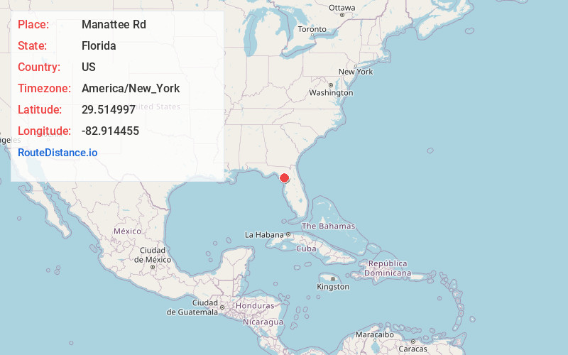
Full AddressManattee Rd, FL
-
Coordinates29.5149971, -82.9144545
-
LocationManattee Rd , Florida , US
-
TimezoneAmerica/New_York
-
Current Local Time2:25:41 AM America/New_YorkTuesday, July 1, 2025
-
Page Views0
About Manattee Rd
Manatee Road is a census-designated place in Levy County, Florida, United States. The population was 2,484 at the 2020 census, up from 2,244 at the 2010 census. At the 2000 census, the CDP was misspelled as "Manattee Road". It is part of the Gainesville, Florida Metropolitan Statistical Area.


Nearby Places
Found 10 places within 50 miles

Cross City
15.0 mi
24.1 km
Cross City, FL 32628
Get directions

Newberry
20.6 mi
33.2 km
Newberry, FL
Get directions

High Springs
28.8 mi
46.3 km
High Springs, FL
Get directions

Williston
29.5 mi
47.5 km
Williston, FL 32696
Get directions

Alachua
31.7 mi
51.0 km
Alachua, FL
Get directions

University of Florida
34.9 mi
56.2 km
University of Florida, Gainesville, FL 32611
Get directions

Rainbow Lakes Estates
35.7 mi
57.5 km
Rainbow Lakes Estates, FL 34431
Get directions

Gainesville
36.7 mi
59.1 km
Gainesville, FL
Get directions

Dunnellon
42.2 mi
67.9 km
Dunnellon, FL
Get directions

Citrus Springs
44.7 mi
71.9 km
Citrus Springs, FL
Get directions
Location Links
Local Weather
Weather Information
Coming soon!
Location Map
Static map view of Manattee Rd, Florida
Browse Places by Distance
Places within specific distances from Manattee Rd
Short Distances
Long Distances
Click any distance to see all places within that range from Manattee Rd. Distances shown in miles (1 mile ≈ 1.61 kilometers).