Distance to Mandan, Michigan

Calculating Your Route
Just a moment while we process your request...
Location Information
-
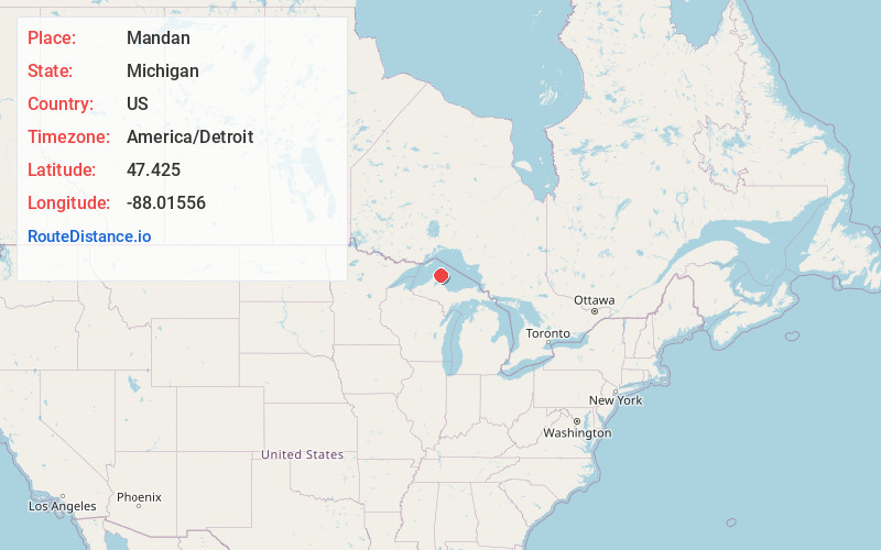
Full AddressMandan, MI 49950
-
Coordinates47.425, -88.0155599
-
LocationMandan , Michigan , US
-
TimezoneAmerica/Detroit
-
Current Local Time5:21:04 AM America/DetroitWednesday, June 18, 2025
-
Page Views0
About Mandan
Mandan is a ghost town in Grant Township, Keweenaw County, Michigan, on U.S. Route 41, about twelve miles south of Copper Harbor. It was the site of the Mandan Mine and the Medora Mine, two copper mines which were organized in 1864 and worked intermittently until their abandonment in 1909.
Nearby Places
Found 10 places within 50 miles

Lac La Belle
2.8 mi
4.5 km
Lac La Belle, MI 49950
Get directions

Delaware
3.8 mi
6.1 km
Delaware, MI 49950
Get directions
Bete Grise
3.8 mi
6.1 km
Bete Grise, MI 49950
Get directions

Copper Harbor
6.6 mi
10.6 km
Copper Harbor, MI
Get directions

Eagle Harbor Township
7.2 mi
11.6 km
Eagle Harbor Township, MI
Get directions
Copper Falls
8.6 mi
13.8 km
Copper Falls, MI 49950
Get directions

Eagle River
13.1 mi
21.1 km
Eagle River, MI 49950
Get directions

Gay
15.3 mi
24.6 km
Gay, MI 49950
Get directions
Ojibway
15.8 mi
25.4 km
Ojibway, MI 49950
Get directions
Hebards
16.4 mi
26.4 km
Hebards, MI 49913
Get directions
Location Links
Local Weather
Weather Information
Coming soon!
Location Map
Static map view of Mandan, Michigan
Browse Places by Distance
Places within specific distances from Mandan
Short Distances
Long Distances
Click any distance to see all places within that range from Mandan. Distances shown in miles (1 mile ≈ 1.61 kilometers).