Distance to Mandeville, Missouri

Calculating Your Route
Just a moment while we process your request...
Location Information
-
Full AddressMandeville, MO 64633
-
Coordinates39.4964823, -93.6212494
-
LocationMandeville , Missouri , US
-
TimezoneAmerica/Chicago
-
Current Local Time2:46:08 AM America/ChicagoFriday, June 20, 2025
-
Page Views0
Nearby Places
Found 10 places within 50 miles

Quote
4.4 mi
7.1 km
Quote, Washington Township, MO 64624
Get directions
Coloma
5.7 mi
9.2 km
Coloma, MO 64622
Get directions
Bogard
5.8 mi
9.3 km
Bogard, MO 64622
Get directions
Tinney Grove
9.8 mi
15.8 km
Tinney Grove, MO 64624
Get directions

Tina
10.0 mi
16.1 km
Tina, MO 64682
Get directions

Braymer
11.2 mi
18.0 km
Braymer, MO 64624
Get directions

Carrollton
11.7 mi
18.8 km
Carrollton, MO 64633
Get directions
Ludlow
11.8 mi
19.0 km
Ludlow, MO 64656
Get directions
Dawn
11.9 mi
19.2 km
Dawn, MO 64638
Get directions

Norborne
13.7 mi
22.0 km
Norborne, MO 64668
Get directions
Location Links
Local Weather
Weather Information
Coming soon!
Location Map
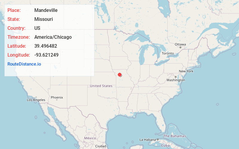
Static map view of Mandeville, Missouri
Browse Places by Distance
Places within specific distances from Mandeville
Short Distances
Long Distances
Click any distance to see all places within that range from Mandeville. Distances shown in miles (1 mile ≈ 1.61 kilometers).