Distance to Mandeville

Calculating Your Route
Just a moment while we process your request...
Location Information
-
Full AddressMandeville, Jamaica
-
Coordinates18.0383278, -77.5074568
-
LocationMandeville , JM
-
TimezoneAmerica/Jamaica
-
Current Local Time3:57:20 PM America/JamaicaTuesday, May 20, 2025
-
Page Views0
About Mandeville
Mandeville is the capital and largest town in the parish of Manchester in the county of Middlesex, Jamaica. In 2005, the town had an estimated population of 50,000, and including the immediate suburbs within a radius of 16 km the total population was about 72,000.


Nearby Places
Found 6 places within 50 miles

Jamaica
14.6 mi
23.5 km
Jamaica
Get directions

Falmouth
32.9 mi
52.9 km
Falmouth, Jamaica
Get directions

Ocho Rios
36.8 mi
59.2 km
Ocho Rios, Jamaica
Get directions
Montego Bay
40.5 mi
65.2 km
Montego Bay, Jamaica
Get directions

Sangster International Airport
41.8 mi
67.3 km
Sangster International Airport, Montego Bay, Jamaica
Get directions

Kingston
45.9 mi
73.9 km
Kingston, Jamaica
Get directions
Location Links
Local Weather
Weather Information
Coming soon!
Location Map
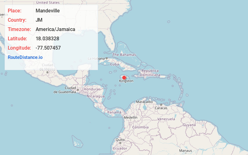
Static map view of Mandeville
Browse Places by Distance
Places within specific distances from Mandeville
Short Distances
Long Distances
Click any distance to see all places within that range from Mandeville. Distances shown in miles (1 mile ≈ 1.61 kilometers).