Distance to Manfred Township, Minnesota

Calculating Your Route
Just a moment while we process your request...
Location Information
-
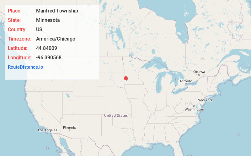
Full AddressManfred Township, MN
-
Coordinates44.8400896, -96.3905684
-
LocationManfred Township , Minnesota , US
-
TimezoneAmerica/Chicago
-
Current Local Time7:12:14 PM America/ChicagoThursday, June 19, 2025
-
Page Views0
About Manfred Township
Manfred Township is a township in Lac qui Parle County, Minnesota, United States. The population was 111 at the 2000 census.
Manfred Township was originally called Custer Township, in honor of George Armstrong Custer, and under the latter name was organized in 1879.
Nearby Places
Found 10 places within 50 miles

Gary
4.6 mi
7.4 km
Gary, SD 57237
Get directions
Burr
6.5 mi
10.5 km
Burr, Florida Township, MN 56220
Get directions

Hammer Township
8.0 mi
12.9 km
Hammer Township, MN 56220
Get directions
Moritz
8.4 mi
13.5 km
Moritz, SD 57237
Get directions
Fortier Township
10.3 mi
16.6 km
Fortier Township, MN 56220
Get directions

Canby
10.7 mi
17.2 km
Canby, MN 56220
Get directions

Marietta
11.7 mi
18.8 km
Marietta, MN 56257
Get directions
Haydenville
12.3 mi
19.8 km
Haydenville, MN 56256
Get directions
Altamont
14.6 mi
23.5 km
Altamont, SD 57226
Get directions
Tunerville
14.6 mi
23.5 km
Tunerville, SD 57226
Get directions
Location Links
Local Weather
Weather Information
Coming soon!
Location Map
Static map view of Manfred Township, Minnesota
Browse Places by Distance
Places within specific distances from Manfred Township
Short Distances
Long Distances
Click any distance to see all places within that range from Manfred Township. Distances shown in miles (1 mile ≈ 1.61 kilometers).