Distance to Mangrum, Arkansas

Calculating Your Route
Just a moment while we process your request...
Location Information
-
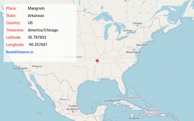
Full AddressMangrum, AR 72419
-
Coordinates35.7878534, -90.3576013
-
LocationArkansas , US
-
TimezoneAmerica/Chicago
-
Current Local Time9:42:08 PM America/ChicagoWednesday, June 25, 2025
-
Page Views0
Nearby Places
Found 10 places within 50 miles

Caraway
2.8 mi
4.5 km
Caraway, AR
Get directions

Degelow
3.0 mi
4.8 km
Degelow, AR 72419
Get directions
Hancock
3.6 mi
5.8 km
Hancock, AR 72419
Get directions

Black Oak
3.6 mi
5.8 km
Black Oak, AR
Get directions
Poplar Ridge
3.9 mi
6.3 km
Poplar Ridge, AR 72437
Get directions
Sandy
4.6 mi
7.4 km
Sandy, AR 72437
Get directions
Bunney
4.8 mi
7.7 km
Bunney, AR 72419
Get directions
Vail
5.1 mi
8.2 km
Vail, AR 72447
Get directions

Lake City
5.5 mi
8.9 km
Lake City, AR 72437
Get directions
Milligan Ridge
5.6 mi
9.0 km
Milligan Ridge, AR 72442
Get directions
Location Links
Local Weather
Weather Information
Coming soon!
Location Map
Static map view of Mangrum, Arkansas
Browse Places by Distance
Places within specific distances from Mangrum
Short Distances
Long Distances
Click any distance to see all places within that range from Mangrum. Distances shown in miles (1 mile ≈ 1.61 kilometers).