Distance to Manistee, Alabama

Calculating Your Route
Just a moment while we process your request...
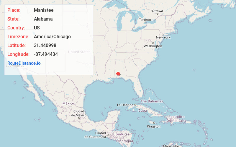
Location Information
-
Full AddressManistee, AL 36445
-
Coordinates31.4409981, -87.4944335
-
LocationAlabama , US
-
TimezoneAmerica/Chicago
-
Current Local Time4:07:42 AM America/ChicagoTuesday, July 1, 2025
-
Page Views0
About Manistee
Manistee is an unincorporated community in Monroe County, Alabama, United States. Manistee was a logging town, and was home to the Manistee Mill Company, Bear Creek Mill Company and Runyan-Burgoyne Lumber Company.
Nearby Places
Found 10 places within 50 miles

Frisco City
5.4 mi
8.7 km
Frisco City, AL 36445
Get directions

Megargel
5.7 mi
9.2 km
Megargel, AL 36445
Get directions
Jeddo
7.6 mi
12.2 km
Jeddo, AL 36480
Get directions
Mexboro
8.0 mi
12.9 km
Mexboro, AL 36445
Get directions
Mexia Crossing
8.0 mi
12.9 km
Mexia Crossing, AL 36445
Get directions
Excel
9.1 mi
14.6 km
Excel, AL
Get directions
Ollie
9.2 mi
14.8 km
Ollie, AL 36460
Get directions

Uriah
9.4 mi
15.1 km
Uriah, AL 36480
Get directions
Palmers Crossroads
10.3 mi
16.6 km
Palmers Crossroads, AL 36480
Get directions

Monroeville
11.7 mi
18.8 km
Monroeville, AL 36460
Get directions
Location Links
Local Weather
Weather Information
Coming soon!
Location Map
Static map view of Manistee, Alabama
Browse Places by Distance
Places within specific distances from Manistee
Short Distances
Long Distances
Click any distance to see all places within that range from Manistee. Distances shown in miles (1 mile ≈ 1.61 kilometers).