Distance to Manitou, Kentucky

Calculating Your Route
Just a moment while we process your request...
Location Information
-
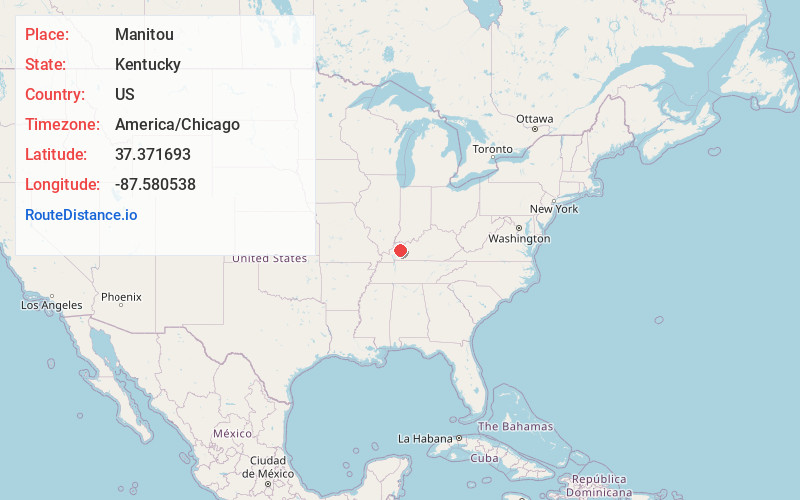
Full AddressManitou, KY
-
Coordinates37.3716933, -87.5805381
-
LocationManitou , Kentucky , US
-
TimezoneAmerica/Chicago
-
Current Local Time1:44:28 AM America/ChicagoFriday, June 20, 2025
-
Page Views0
About Manitou
Manitou is an unincorporated community and census-designated place in Hopkins County, Kentucky, United States. As of the 2010 census the population was 181. It is a small community that lies a few miles northwest of Madisonville on US 41, at its intersection with KY 630 and KY 262.
Nearby Places
Found 10 places within 50 miles

Nebo
3.5 mi
5.6 km
Nebo, KY 42441
Get directions

Madisonville
5.4 mi
8.7 km
Madisonville, KY 42431
Get directions

Hanson
6.3 mi
10.1 km
Hanson, KY
Get directions

Earlington
7.7 mi
12.4 km
Earlington, KY
Get directions

Slaughters
9.2 mi
14.8 km
Slaughters, KY 42456
Get directions

Providence
10.2 mi
16.4 km
Providence, KY 42450
Get directions

Mortons Gap
11.0 mi
17.7 km
Mortons Gap, KY
Get directions

Dixon
11.8 mi
19.0 km
Dixon, KY 42409
Get directions

St Charles
12.9 mi
20.8 km
St Charles, KY
Get directions

Nortonville
14.5 mi
23.3 km
Nortonville, KY 42442
Get directions
Location Links
Local Weather
Weather Information
Coming soon!
Location Map
Static map view of Manitou, Kentucky
Browse Places by Distance
Places within specific distances from Manitou
Short Distances
Long Distances
Click any distance to see all places within that range from Manitou. Distances shown in miles (1 mile ≈ 1.61 kilometers).