Distance to and from Mankato, Kansas
Mankato, KS 66956
Mankato
Kansas
US
America/Chicago
Location Information
-
Full AddressMankato, KS 66956
-
Coordinates39.7872343, -98.2100511
-
LocationMankato , Kansas , US
-
TimezoneAmerica/Chicago
-
Current Local Time10:11:54 PM America/ChicagoMonday, May 5, 2025
-
Website
-
Page Views0
Directions to Nearest Cities
About Mankato
Mankato is a city in and the county seat of Jewell County, Kansas, United States. As of the 2020 census, the population of the city was 836.
Nearby Places
Found 10 places within 50 miles

Superior
17.9 mi
28.8 km
Superior, NE 68978
Get directions

Beloit
23.5 mi
37.8 km
Beloit, KS 67420
Get directions

Red Cloud
26.5 mi
42.6 km
Red Cloud, NE 68970
Get directions
Smith Center
30.5 mi
49.1 km
Smith Center, KS 66967
Get directions

Belleville
30.8 mi
49.6 km
Belleville, KS 66935
Get directions

Concordia
32.7 mi
52.6 km
Concordia, KS 66901
Get directions

Osborne
35.3 mi
56.8 km
Osborne, KS 67473
Get directions
Blue Hill
39.8 mi
64.1 km
Blue Hill, NE 68930
Get directions

Hebron
42.2 mi
67.9 km
Hebron, NE 68370
Get directions
Clyde
45.2 mi
72.7 km
Clyde, KS 66938
Get directions
Superior
17.9 mi
28.8 km
Superior, NE 68978
Beloit
23.5 mi
37.8 km
Beloit, KS 67420
Red Cloud
26.5 mi
42.6 km
Red Cloud, NE 68970
Smith Center
30.5 mi
49.1 km
Smith Center, KS 66967
Belleville
30.8 mi
49.6 km
Belleville, KS 66935
Concordia
32.7 mi
52.6 km
Concordia, KS 66901
Osborne
35.3 mi
56.8 km
Osborne, KS 67473
Blue Hill
39.8 mi
64.1 km
Blue Hill, NE 68930
Hebron
42.2 mi
67.9 km
Hebron, NE 68370
Clyde
45.2 mi
72.7 km
Clyde, KS 66938
Location Links
Local Weather
Weather Information
Coming soon!
Location Map
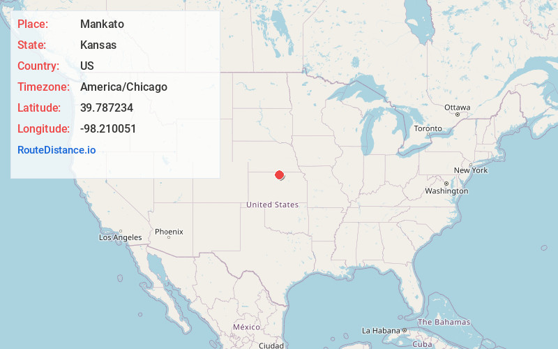
Static map view of Mankato, Kansas
Browse Places by Distance
Places within specific distances from Mankato
Short Distances
Long Distances
Click any distance to see all places within that range from Mankato. Distances shown in miles (1 mile ≈ 1.61 kilometers).