Distance to Manning, Oregon

Calculating Your Route
Just a moment while we process your request...
Location Information
-
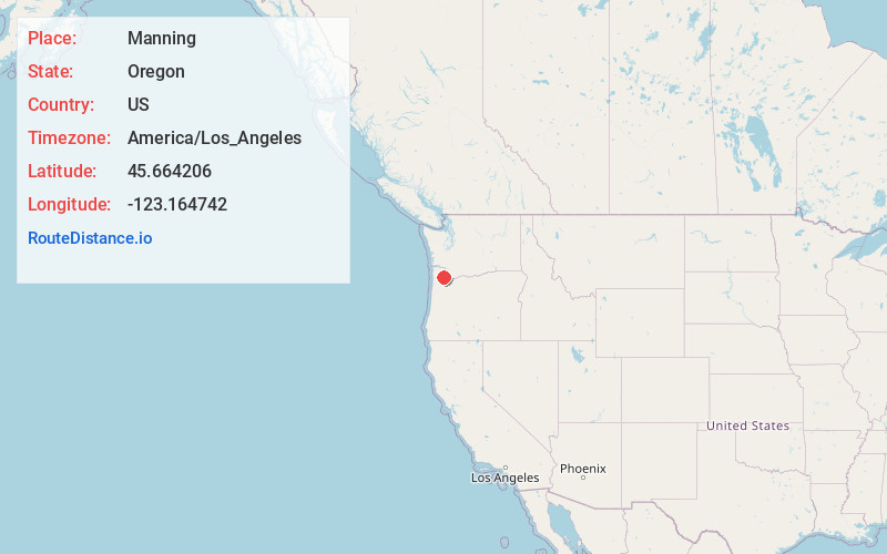
Full AddressManning, OR 97106
-
Coordinates45.6642063, -123.1647419
-
LocationManning , Oregon , US
-
TimezoneAmerica/Los_Angeles
-
Current Local Time5:25:13 PM America/Los_AngelesWednesday, July 2, 2025
-
Page Views0
About Manning
Manning is an unincorporated community in Washington County, Oregon, United States on the Sunset Highway. The Banks–Vernonia State Trail, a rail trail conversion, passes through Manning. The NorthWest POINT offers twice-daily roundtrip intercity bus service between Portland and Astoria with a flag stop in Manning.

Nearby Places
Found 10 places within 50 miles

Banks
4.0 mi
6.4 km
Banks, OR 97106
Get directions

Greenville
5.5 mi
8.9 km
Greenville, OR 97116
Get directions

Gales Creek
5.9 mi
9.5 km
Gales Creek, OR 97117
Get directions
Mountaindale
6.7 mi
10.8 km
Mountaindale, OR 97133
Get directions
Watts
8.5 mi
13.7 km
Watts, OR 97116
Get directions

North Plains
9.2 mi
14.8 km
North Plains, OR 97133
Get directions

Forest Grove
10.3 mi
16.6 km
Forest Grove, OR 97116
Get directions

Cornelius
11.1 mi
17.9 km
Cornelius, OR
Get directions
Dilley
12.2 mi
19.6 km
Dilley, OR 97116
Get directions

Hillsboro
13.1 mi
21.1 km
Hillsboro, OR
Get directions
Location Links
Local Weather
Weather Information
Coming soon!
Location Map
Static map view of Manning, Oregon
Browse Places by Distance
Places within specific distances from Manning
Short Distances
Long Distances
Click any distance to see all places within that range from Manning. Distances shown in miles (1 mile ≈ 1.61 kilometers).