Distance to Manning, North Dakota

Calculating Your Route
Just a moment while we process your request...
Location Information
-
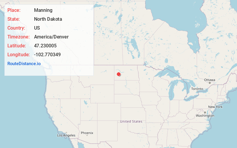
Full AddressManning, ND 58642
-
Coordinates47.2300045, -102.7703485
-
LocationManning , North Dakota , US
-
TimezoneAmerica/Denver
-
Current Local Time9:10:07 PM America/DenverWednesday, July 2, 2025
-
Page Views0
About Manning
Manning is a city in, and the county seat of, Dunn County, North Dakota, United States. Manning was founded in 1908 to serve as the seat of Dunn County, itself organized that year. Its population was not reported in the 2000 census, but was included in the 2020 census, where a population of 47 was given.

Nearby Places
Found 10 places within 50 miles

Dunn Center
11.1 mi
17.9 km
Dunn Center, ND 58626
Get directions

Halliday
22.1 mi
35.6 km
Halliday, ND 58636
Get directions

Dickinson
24.3 mi
39.1 km
Dickinson, ND 58601
Get directions

Dodge
27.1 mi
43.6 km
Dodge, ND 58625
Get directions

Gladstone
27.2 mi
43.8 km
Gladstone, ND 58630
Get directions
South Heart
27.3 mi
43.9 km
South Heart, ND
Get directions

Taylor
28.0 mi
45.1 km
Taylor, ND 58656
Get directions

Belfield
31.2 mi
50.2 km
Belfield, ND 58622
Get directions

Richardton
32.1 mi
51.7 km
Richardton, ND
Get directions

Golden Valley
33.4 mi
53.8 km
Golden Valley, ND 58541
Get directions
Location Links
Local Weather
Weather Information
Coming soon!
Location Map
Static map view of Manning, North Dakota
Browse Places by Distance
Places within specific distances from Manning
Short Distances
Long Distances
Click any distance to see all places within that range from Manning. Distances shown in miles (1 mile ≈ 1.61 kilometers).