Distance to Manning, Michigan

Calculating Your Route
Just a moment while we process your request...
Location Information
-
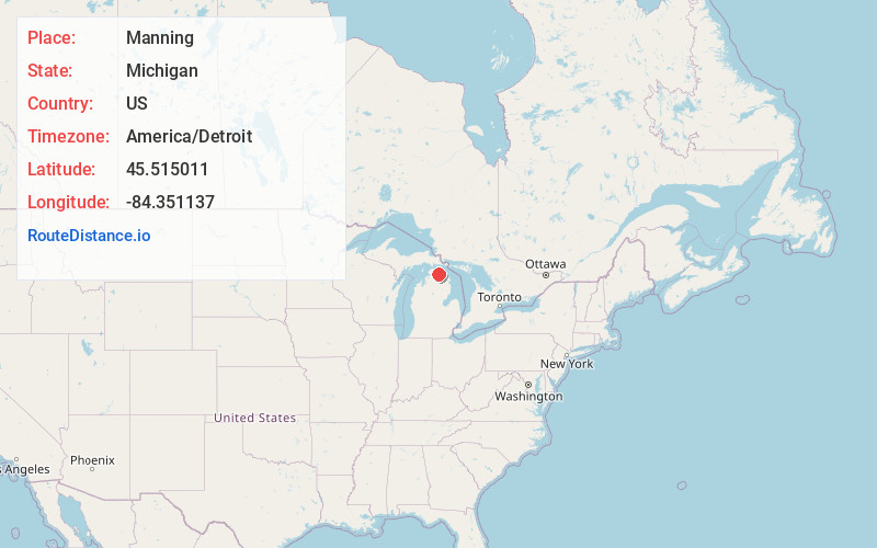
Full AddressManning, MI 49721
-
Coordinates45.5150111, -84.3511369
-
LocationManning , Michigan , US
-
TimezoneAmerica/Detroit
-
Current Local Time2:22:01 PM America/DetroitThursday, June 19, 2025
-
Page Views0
Nearby Places
Found 10 places within 50 miles

Alverno
3.6 mi
5.8 km
Alverno, MI 49721
Get directions

Black Lake
5.3 mi
8.5 km
Black Lake, Michigan 49765
Get directions
Aloha
5.6 mi
9.0 km
Aloha, MI 49721
Get directions
Hangore Heights
5.9 mi
9.5 km
Hangore Heights, MI 49765
Get directions
Orchard Beach
6.2 mi
10.0 km
Orchard Beach, MI 49721
Get directions
Canfield Beach
7.3 mi
11.7 km
Canfield Beach, MI 49765
Get directions
Rainy Beach
7.9 mi
12.7 km
Rainy Beach, MI 49765
Get directions

Mullett Lake
8.0 mi
12.9 km
Mullett Lake, Michigan
Get directions
Coddes Beach
8.1 mi
13.0 km
Coddes Beach, MI 49765
Get directions
Legrand
9.1 mi
14.6 km
Legrand, Koehler Township, MI 49705
Get directions
Location Links
Local Weather
Weather Information
Coming soon!
Location Map
Static map view of Manning, Michigan
Browse Places by Distance
Places within specific distances from Manning
Short Distances
Long Distances
Click any distance to see all places within that range from Manning. Distances shown in miles (1 mile ≈ 1.61 kilometers).