Distance to Manningtown, Georgia

Calculating Your Route
Just a moment while we process your request...
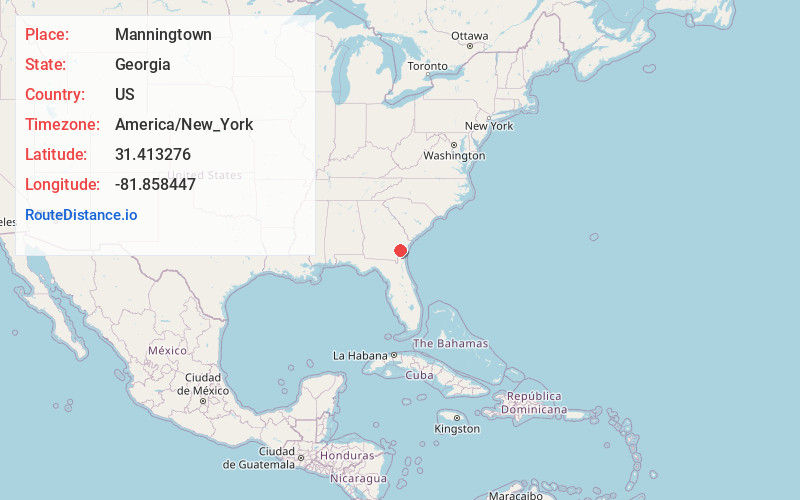
Location Information
-
Full AddressManningtown, GA 31546
-
Coordinates31.4132755, -81.8584465
-
LocationGeorgia , US
-
TimezoneAmerica/New_York
-
Current Local Time5:33:29 PM America/New_YorkWednesday, June 18, 2025
-
Page Views0

Nearby Places
Found 10 places within 50 miles

O Neal
4.7 mi
7.6 km
O Neal, GA 31543
Get directions
Fendig
5.2 mi
8.4 km
Fendig, GA 31543
Get directions
Broadhurst
5.5 mi
8.9 km
Broadhurst, GA 31546
Get directions
Browntown
6.9 mi
11.1 km
Browntown, GA 31543
Get directions
Hortense
7.8 mi
12.6 km
Hortense, GA 31543
Get directions
Belle Vista
8.1 mi
13.0 km
Belle Vista, GA 31543
Get directions
Pendarvis
8.6 mi
13.8 km
Pendarvis, GA 31546
Get directions
Gardi
9.3 mi
15.0 km
Gardi, GA 31546
Get directions
Popwellville
9.5 mi
15.3 km
Popwellville, GA 31543
Get directions
Trudie
10.0 mi
16.1 km
Trudie, GA 31553
Get directions
Location Links
Local Weather
Weather Information
Coming soon!
Location Map
Static map view of Manningtown, Georgia
Browse Places by Distance
Places within specific distances from Manningtown
Short Distances
Long Distances
Click any distance to see all places within that range from Manningtown. Distances shown in miles (1 mile ≈ 1.61 kilometers).