Distance to Manokin, Maryland

Calculating Your Route
Just a moment while we process your request...
Location Information
-
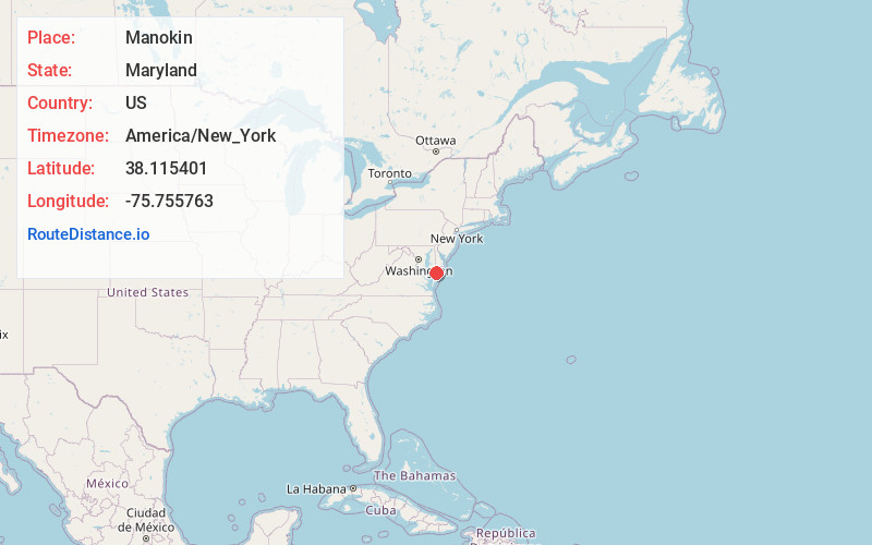
Full AddressManokin, MD 21871
-
Coordinates38.1154008, -75.7557628
-
LocationManokin , Maryland , US
-
TimezoneAmerica/New_York
-
Current Local Time5:17:34 AM America/New_YorkWednesday, June 18, 2025
-
Page Views0
About Manokin
Manokin is an unincorporated community in Somerset County, Maryland, United States. It is located on Maryland Route 361 at the intersection of River Road. The George Maddox Farm, Sudler's Conclusion and Waters' River are listed on the National Register of Historic Places.
Nearby Places
Found 10 places within 50 miles

Westover
2.7 mi
4.3 km
Westover, MD 21871
Get directions
Landonville
3.1 mi
5.0 km
Landonville, Fairmount, MD 21871
Get directions
Iverness
3.3 mi
5.3 km
Iverness, Fairmount, MD 21871
Get directions
Fairmount
3.8 mi
6.1 km
Fairmount, MD 21871
Get directions
Champ
4.2 mi
6.8 km
Champ, MD 21853
Get directions
Oriole
4.9 mi
7.9 km
Oriole, MD 21853
Get directions
Greenhill
5.2 mi
8.4 km
Greenhill, MD 21871
Get directions
Marion Station
5.3 mi
8.5 km
Marion Station, MD 21838
Get directions
Monie
6.1 mi
9.8 km
Monie, MD 21853
Get directions

Frenchtown-Rumbly
6.5 mi
10.5 km
Frenchtown-Rumbly, MD
Get directions
Location Links
Local Weather
Weather Information
Coming soon!
Location Map
Static map view of Manokin, Maryland
Browse Places by Distance
Places within specific distances from Manokin
Short Distances
Long Distances
Click any distance to see all places within that range from Manokin. Distances shown in miles (1 mile ≈ 1.61 kilometers).