Distance to and from Manson, North Carolina
Manson, NC
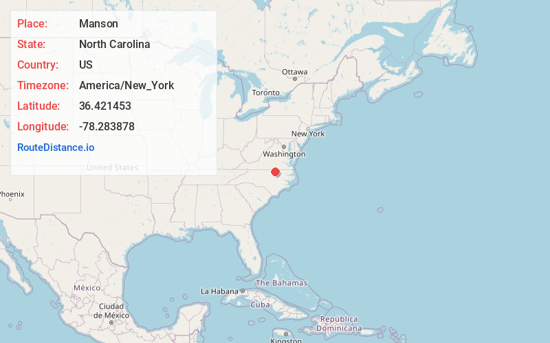
Manson
North Carolina
US
America/New_York
Location Information
-
Full AddressManson, NC
-
Coordinates36.421453, -78.2838779
-
NeighborhoodManson
-
LocationManson , North Carolina , US
-
TimezoneAmerica/New_York
-
Current Local Time3:13:04 PM America/New_YorkSaturday, May 3, 2025
-
Page Views0
Directions to Nearest Cities
About Manson
Manson is an unincorporated community in Warren County, North Carolina, United States. The community is located on U.S. Route 1, 5 miles west-southwest of Norlina. Manson has a post office with ZIP code 27553.
Manson was originally known as Cheathamville.


Nearby Places
Found 10 places within 50 miles

Middleburg
2.6 mi
4.2 km
Middleburg, NC
Get directions

Norlina
5.0 mi
8.0 km
Norlina, NC 27563
Get directions

Warrenton
7.3 mi
11.7 km
Warrenton, NC 27589
Get directions
Vicksboro
8.0 mi
12.9 km
Vicksboro, NC 27563
Get directions
Kellys Crossroads
9.4 mi
15.1 km
Kellys Crossroads, NC 27537
Get directions
South Henderson
10.8 mi
17.4 km
South Henderson, NC
Get directions

Macon
11.2 mi
18.0 km
Macon, NC 27551
Get directions
Knotts Crossroads
11.6 mi
18.7 km
Knotts Crossroads, NC 27537
Get directions
Gill
12.8 mi
20.6 km
Gill, NC 27537
Get directions
Marmaduke
13.0 mi
20.9 km
Marmaduke, NC 27551
Get directions
Middleburg
2.6 mi
4.2 km
Middleburg, NC
Norlina
5.0 mi
8.0 km
Norlina, NC 27563
Warrenton
7.3 mi
11.7 km
Warrenton, NC 27589
Vicksboro
8.0 mi
12.9 km
Vicksboro, NC 27563
Kellys Crossroads
9.4 mi
15.1 km
Kellys Crossroads, NC 27537
South Henderson
10.8 mi
17.4 km
South Henderson, NC
Macon
11.2 mi
18.0 km
Macon, NC 27551
Knotts Crossroads
11.6 mi
18.7 km
Knotts Crossroads, NC 27537
Gill
12.8 mi
20.6 km
Gill, NC 27537
Marmaduke
13.0 mi
20.9 km
Marmaduke, NC 27551
Location Links
Local Weather
Weather Information
Coming soon!
Location Map
Static map view of Manson, North Carolina
Browse Places by Distance
Places within specific distances from Manson
Short Distances
Long Distances
Click any distance to see all places within that range from Manson. Distances shown in miles (1 mile ≈ 1.61 kilometers).