Distance to Manson, Washington

Calculating Your Route
Just a moment while we process your request...
Location Information
-
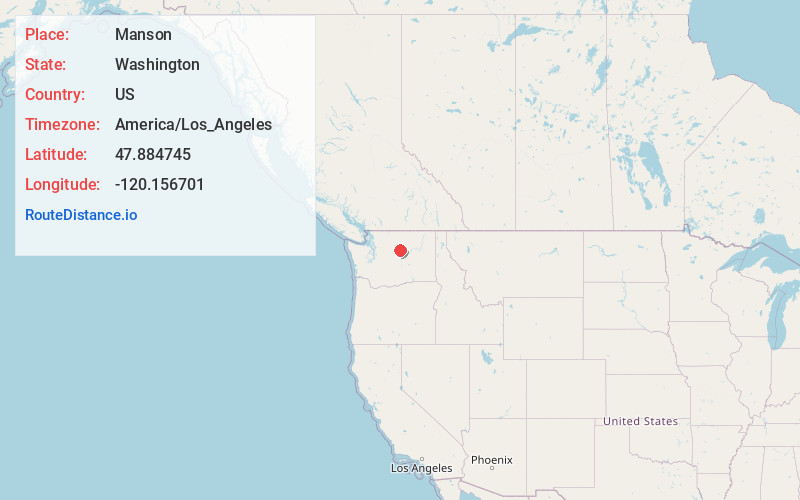
Full AddressManson, WA 98831
-
Coordinates47.8847447, -120.1567011
-
LocationManson , Washington , US
-
TimezoneAmerica/Los_Angeles
-
Current Local Time5:06:03 PM America/Los_AngelesSaturday, June 21, 2025
-
Page Views0
About Manson
Manson is an unincorporated community and census-designated place in Chelan County in the U.S. state of Washington. It was named in 1912 for Manson F. Backus, president of the Lake Chelan Land Company.


Nearby Places
Found 10 places within 50 miles

Chelan
7.2 mi
11.6 km
Chelan, WA 98816
Get directions

Waterville
16.9 mi
27.2 km
Waterville, WA 98858
Get directions

Brewster
22.7 mi
36.5 km
Brewster, WA 98812
Get directions

Bridgeport
24.0 mi
38.6 km
Bridgeport, WA 98813
Get directions

Cashmere
29.0 mi
46.7 km
Cashmere, WA 98815
Get directions

Sunnyslope
29.7 mi
47.8 km
Sunnyslope, WA 98801
Get directions

Leavenworth
30.8 mi
49.6 km
Leavenworth, WA 98826
Get directions

Wenatchee
32.7 mi
52.6 km
Wenatchee, WA 98801
Get directions

East Wenatchee
33.0 mi
53.1 km
East Wenatchee, WA 98802
Get directions

Okanogan
42.2 mi
67.9 km
Okanogan, WA 98840
Get directions
Location Links
Local Weather
Weather Information
Coming soon!
Location Map
Static map view of Manson, Washington
Browse Places by Distance
Places within specific distances from Manson
Short Distances
Long Distances
Click any distance to see all places within that range from Manson. Distances shown in miles (1 mile ≈ 1.61 kilometers).