Distance to Mantachie, Mississippi

Calculating Your Route
Just a moment while we process your request...
Location Information
-
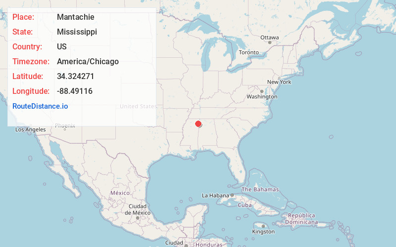
Full AddressMantachie, MS
-
Coordinates34.3242707, -88.4911595
-
LocationMantachie , Mississippi , US
-
TimezoneAmerica/Chicago
-
Current Local Time2:03:05 PM America/ChicagoWednesday, June 18, 2025
-
Page Views0
About Mantachie
Mantachie is a town in Itawamba County, Mississippi, United States. The population was 1,121 in the 2020 census. It is located 14 miles northeast of Tupelo at the intersection of Mississippi Highways 363 and 371 and 5 miles north of Interstate 22.


Nearby Places
Found 10 places within 50 miles

Fulton
5.8 mi
9.3 km
Fulton, MS 38843
Get directions

Saltillo
11.5 mi
18.5 km
Saltillo, MS 38866
Get directions

Guntown
12.4 mi
20.0 km
Guntown, MS 38849
Get directions

Tupelo
13.0 mi
20.9 km
Tupelo, MS
Get directions

Baldwyn
15.2 mi
24.5 km
Baldwyn, MS
Get directions

Verona
15.8 mi
25.4 km
Verona, MS
Get directions

Belmont
20.6 mi
33.2 km
Belmont, MS
Get directions

Red Bay
21.5 mi
34.6 km
Red Bay, AL 35582
Get directions

Booneville
23.5 mi
37.8 km
Booneville, MS 38829
Get directions

Amory
23.5 mi
37.8 km
Amory, MS 38821
Get directions
Location Links
Local Weather
Weather Information
Coming soon!
Location Map
Static map view of Mantachie, Mississippi
Browse Places by Distance
Places within specific distances from Mantachie
Short Distances
Long Distances
Click any distance to see all places within that range from Mantachie. Distances shown in miles (1 mile ≈ 1.61 kilometers).