Distance to Manton, Kentucky

Calculating Your Route
Just a moment while we process your request...
Location Information
-
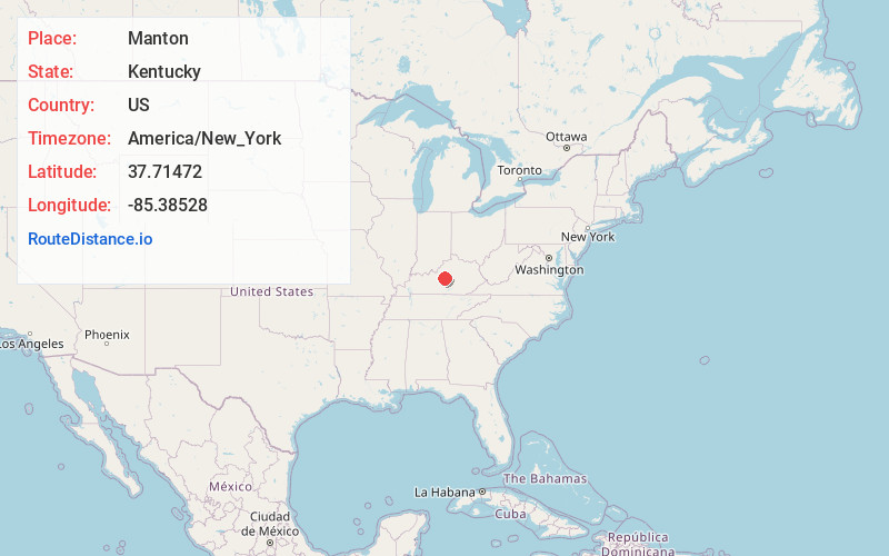
Full AddressManton, KY 40069
-
Coordinates37.71472, -85.38528
-
LocationManton , Kentucky , US
-
TimezoneAmerica/New_York
-
Current Local Time5:33:16 PM America/New_YorkWednesday, June 25, 2025
-
Page Views0
About Manton
Manton is an unincorporated community in the central part of the U.S. state of Kentucky, located on the western edge of Washington County near the intersection of Marion, Nelson, and Washington counties. It was founded at least before 1844, when Holy Rosary Church was founded.
Nearby Places
Found 10 places within 50 miles

Gandertown
2.2 mi
3.5 km
Gandertown, KY 40037
Get directions
Nerinx
3.5 mi
5.6 km
Nerinx, KY 40037
Get directions
Bearwallow
3.8 mi
6.1 km
Bearwallow, KY 40069
Get directions
Greenbrier
4.2 mi
6.8 km
Greenbrier, KY 40004
Get directions
Croakes
5.2 mi
8.4 km
Croakes, KY 40069
Get directions

Loretto
5.6 mi
9.0 km
Loretto, KY 40037
Get directions

Nelson County
6.2 mi
10.0 km
Nelson County, KY
Get directions
St Francis
6.5 mi
10.5 km
St Francis, KY 40062
Get directions
Booker
6.6 mi
10.6 km
Booker, KY 40069
Get directions
Dant
6.7 mi
10.8 km
Dant, KY 40037
Get directions
Location Links
Local Weather
Weather Information
Coming soon!
Location Map
Static map view of Manton, Kentucky
Browse Places by Distance
Places within specific distances from Manton
Short Distances
Long Distances
Click any distance to see all places within that range from Manton. Distances shown in miles (1 mile ≈ 1.61 kilometers).