Distance to Mantua, Utah

Calculating Your Route
Just a moment while we process your request...
Location Information
-
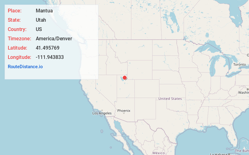
Full AddressMantua, UT 84324
-
Coordinates41.4957692, -111.9438329
-
LocationMantua , Utah , US
-
TimezoneAmerica/Denver
-
Current Local Time3:25:53 AM America/DenverWednesday, June 18, 2025
-
Page Views0
About Mantua
Mantua is a town on the eastern edge of Box Elder County, Utah, United States. The population of the town was 1,090 at the 2020 census.


Nearby Places
Found 10 places within 50 miles

Brigham City
3.8 mi
6.1 km
Brigham City, UT
Get directions

Perry
5.4 mi
8.7 km
Perry, UT 84302
Get directions

Willard
7.6 mi
12.2 km
Willard, UT 84340
Get directions

Wellsville
9.9 mi
15.9 km
Wellsville, UT 84339
Get directions

South Willard
10.4 mi
16.7 km
South Willard, UT 84340
Get directions

Hyrum
10.7 mi
17.2 km
Hyrum, UT
Get directions

Honeyville
12.1 mi
19.5 km
Honeyville, UT
Get directions

Pleasant View
12.5 mi
20.1 km
Pleasant View, UT
Get directions

Wolf Creek
12.8 mi
20.6 km
Wolf Creek, UT 84310
Get directions

North Ogden
13.1 mi
21.1 km
North Ogden, UT
Get directions
Location Links
Local Weather
Weather Information
Coming soon!
Location Map
Static map view of Mantua, Utah
Browse Places by Distance
Places within specific distances from Mantua
Short Distances
Long Distances
Click any distance to see all places within that range from Mantua. Distances shown in miles (1 mile ≈ 1.61 kilometers).