Distance to Manzanita, Oregon

Calculating Your Route
Just a moment while we process your request...
Location Information
-
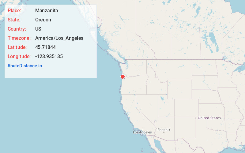
Full AddressManzanita, OR
-
Coordinates45.7184398, -123.9351354
-
LocationManzanita , Oregon , US
-
TimezoneAmerica/Los_Angeles
-
Current Local Time12:56:15 PM America/Los_AngelesSaturday, June 28, 2025
-
Website
-
Page Views0
About Manzanita
Manzanita is a coastal city in Tillamook County, Oregon, United States. It is located on U.S. Route 101 about 25 miles equidistant from Seaside to the north and Tillamook to the south. The population was 603 at the 2020 census.


Nearby Places
Found 10 places within 50 miles

Rockaway Beach
7.3 mi
11.7 km
Rockaway Beach, OR 97136
Get directions

Barview
10.3 mi
16.6 km
Barview, OR 97136
Get directions

Garibaldi
11.1 mi
17.9 km
Garibaldi, OR
Get directions

Cannon Beach
12.0 mi
19.3 km
Cannon Beach, OR
Get directions

Bay City
13.7 mi
22.0 km
Bay City, OR
Get directions

Tillamook
18.6 mi
29.9 km
Tillamook, OR 97141
Get directions

Seaside
19.0 mi
30.6 km
Seaside, OR 97138
Get directions

Netarts
19.8 mi
31.9 km
Netarts, OR 97141
Get directions

Gearhart
21.2 mi
34.1 km
Gearhart, OR 97138
Get directions

Warrenton
30.9 mi
49.7 km
Warrenton, OR
Get directions
Location Links
Local Weather
Weather Information
Coming soon!
Location Map
Static map view of Manzanita, Oregon
Browse Places by Distance
Places within specific distances from Manzanita
Short Distances
Long Distances
Click any distance to see all places within that range from Manzanita. Distances shown in miles (1 mile ≈ 1.61 kilometers).