Distance to Manzanola, Colorado

Calculating Your Route
Just a moment while we process your request...
Location Information
-
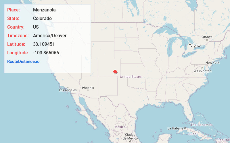
Full AddressManzanola, CO 81058
-
Coordinates38.1094509, -103.8660658
-
LocationManzanola , Colorado , US
-
TimezoneAmerica/Denver
-
Current Local Time9:52:32 PM America/DenverWednesday, June 18, 2025
-
Page Views0
About Manzanola
Manzanola is a Statutory Town in Otero County, Colorado, United States. The town population was 341 at the 2020 United States census.
Nearby Places
Found 10 places within 50 miles

Olney Springs
5.8 mi
9.3 km
Olney Springs, CO 81062
Get directions

Fowler
8.7 mi
14.0 km
Fowler, CO 81039
Get directions

Rocky Ford
8.9 mi
14.3 km
Rocky Ford, CO 81067
Get directions

Ordway
9.6 mi
15.4 km
Ordway, CO 81063
Get directions

Sugar City
13.9 mi
22.4 km
Sugar City, CO 81076
Get directions

Swink
14.5 mi
23.3 km
Swink, CO
Get directions

La Junta
19.5 mi
31.4 km
La Junta, CO 81050
Get directions

Las Animas
35.1 mi
56.5 km
Las Animas, CO 81054
Get directions

Blende
39.3 mi
63.2 km
Blende, CO 81006
Get directions
Salt Creek
40.1 mi
64.5 km
Salt Creek, CO 81006
Get directions
Location Links
Local Weather
Weather Information
Coming soon!
Location Map
Static map view of Manzanola, Colorado
Browse Places by Distance
Places within specific distances from Manzanola
Short Distances
Long Distances
Click any distance to see all places within that range from Manzanola. Distances shown in miles (1 mile ≈ 1.61 kilometers).