Distance to Maple Grove, Minnesota

Calculating Your Route
Just a moment while we process your request...
Location Information
-
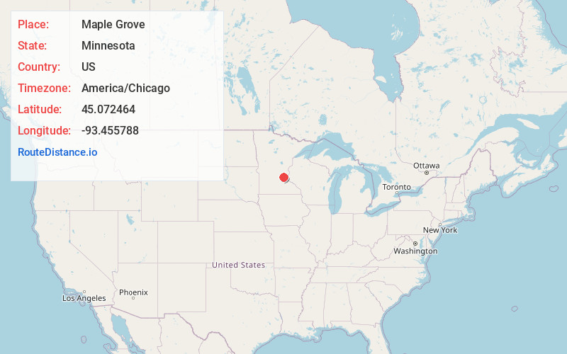
Full AddressMaple Grove, MN
-
Coordinates45.0724642, -93.4557877
-
LocationMaple Grove , Minnesota , US
-
TimezoneAmerica/Chicago
-
Current Local Time4:52:53 PM America/ChicagoThursday, June 19, 2025
-
Website
-
Page Views0
About Maple Grove
Maple Grove is a suburban city in Hennepin County, Minnesota, United States. The population was 70,253 at the 2020 census. making it Minnesota's 11th most populous city.
Maple Grove serves as a retail, cultural and medical center in the northwest region of the Minneapolis–Saint Paul metropolitan area.


Nearby Places
Found 10 places within 50 miles

Plymouth
4.3 mi
6.9 km
Plymouth, MN
Get directions

Brooklyn Park
5.1 mi
8.2 km
Brooklyn Park, MN
Get directions

Coon Rapids
10.2 mi
16.4 km
Coon Rapids, MN
Get directions

Minneapolis
11.4 mi
18.3 km
Minneapolis, MN
Get directions

Eden Prairie
15.1 mi
24.3 km
Eden Prairie, MN
Get directions

Bloomington
17.8 mi
28.6 km
Bloomington, MN
Get directions

St Paul
19.7 mi
31.7 km
St Paul, MN
Get directions

Burnsville
22.8 mi
36.7 km
Burnsville, MN
Get directions

Eagan
23.3 mi
37.5 km
Eagan, MN
Get directions

St Cloud
48.0 mi
77.2 km
St Cloud, MN
Get directions
Location Links
Local Weather
Weather Information
Coming soon!
Location Map
Static map view of Maple Grove, Minnesota
Browse Places by Distance
Places within specific distances from Maple Grove
Short Distances
Long Distances
Click any distance to see all places within that range from Maple Grove. Distances shown in miles (1 mile ≈ 1.61 kilometers).