Distance to Maple Lake, Minnesota

Calculating Your Route
Just a moment while we process your request...
Location Information
-
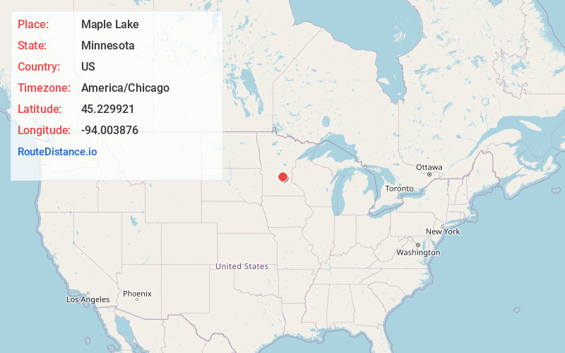
Full AddressMaple Lake, MN 55358
-
Coordinates45.2299207, -94.0038756
-
LocationMaple Lake , Minnesota , US
-
TimezoneAmerica/Chicago
-
Current Local Time2:01:49 PM America/ChicagoTuesday, June 24, 2025
-
Website
-
Page Views0
About Maple Lake
Maple Lake is a city in Wright County, Minnesota, United States. The population was 2,159 at the 2020 census. Minnesota State Highway 55 serves as a main route in the city.


Nearby Places
Found 10 places within 50 miles

Annandale
6.2 mi
10.0 km
Annandale, MN 55302
Get directions

Buffalo
7.5 mi
12.1 km
Buffalo, MN 55313
Get directions

Monticello
11.5 mi
18.5 km
Monticello, MN
Get directions

Montrose
11.9 mi
19.2 km
Montrose, MN 55363
Get directions

Becker
13.0 mi
20.9 km
Becker, MN
Get directions

Cokato
13.9 mi
22.4 km
Cokato, MN 55321
Get directions

Big Lake
14.6 mi
23.5 km
Big Lake, MN
Get directions

Rockford
16.1 mi
25.9 km
Rockford, MN
Get directions

Albertville
16.3 mi
26.2 km
Albertville, MN
Get directions

Rice Lake
16.4 mi
26.4 km
Rice Lake, MN 55349
Get directions
Location Links
Local Weather
Weather Information
Coming soon!
Location Map
Static map view of Maple Lake, Minnesota
Browse Places by Distance
Places within specific distances from Maple Lake
Short Distances
Long Distances
Click any distance to see all places within that range from Maple Lake. Distances shown in miles (1 mile ≈ 1.61 kilometers).