Distance to Maple Park Bogs, Massachusetts

Calculating Your Route
Just a moment while we process your request...
Location Information
-
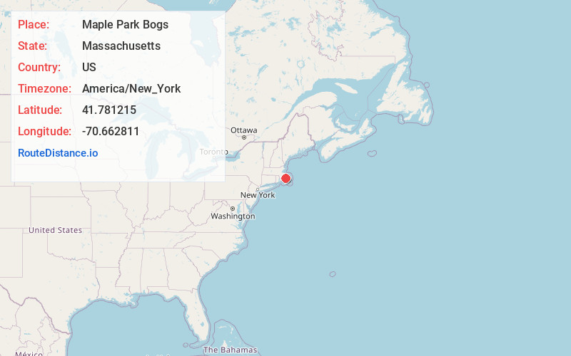
Full AddressMaple Park Bogs, Wareham, MA 02571
-
Coordinates41.7812154, -70.6628111
-
LocationWareham , Massachusetts , US
-
TimezoneAmerica/New_York
-
Current Local Time12:19:23 PM America/New_YorkWednesday, May 21, 2025
-
Page Views0
Nearby Places
Found 10 places within 50 miles

Point Independence
2.8 mi
4.5 km
Point Independence, Wareham, MA 02532
Get directions
Tihonet
2.9 mi
4.7 km
Tihonet, Wareham, MA 02571
Get directions

Wareham
3.3 mi
5.3 km
Wareham, MA
Get directions
Great Neck
3.5 mi
5.6 km
Great Neck, Wareham, MA 02571
Get directions

Bourne
3.8 mi
6.1 km
Bourne, MA
Get directions

Halfway Pond
5.5 mi
8.9 km
Halfway Pond, Plymouth, MA 02360
Get directions

Great Swamp
5.7 mi
9.2 km
Great Swamp, Marion, MA 02738
Get directions
Piney Point Beach
6.6 mi
10.6 km
Piney Point Beach, Marion, MA 02738
Get directions

Weweantic River
6.8 mi
10.9 km
Weweantic River, Massachusetts
Get directions

Marion
7.6 mi
12.2 km
Marion, MA
Get directions
Location Links
Local Weather
Weather Information
Coming soon!
Location Map
Static map view of Maple Park Bogs, Massachusetts
Browse Places by Distance
Places within specific distances from Maple Park Bogs
Short Distances
Long Distances
Click any distance to see all places within that range from Maple Park Bogs. Distances shown in miles (1 mile ≈ 1.61 kilometers).