Distance to Maple Park, Illinois

Calculating Your Route
Just a moment while we process your request...
Location Information
-
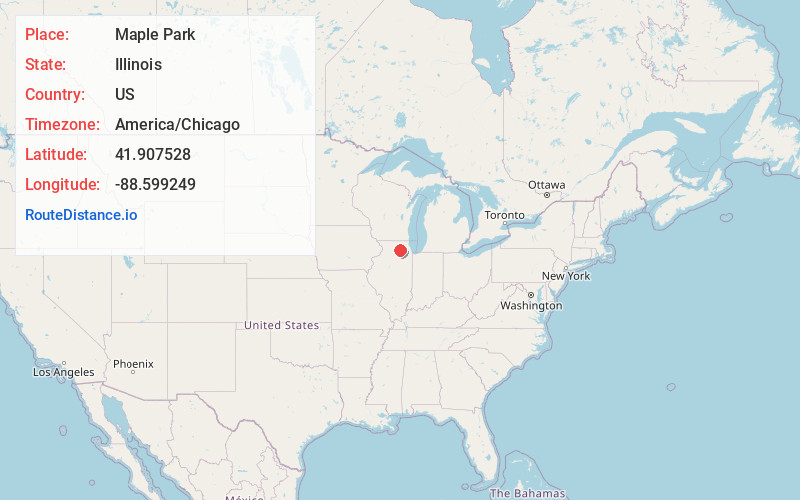
Full AddressMaple Park, IL 60151
-
Coordinates41.9075282, -88.5992494
-
LocationMaple Park , Illinois , US
-
TimezoneAmerica/Chicago
-
Current Local Time11:56:26 PM America/ChicagoWednesday, June 4, 2025
-
Page Views0
About Maple Park
Maple Park is a village in DeKalb and Kane counties in the U.S. state of Illinois. The population was 1,433 at the 2020 census, up from 1,310 at the 2010 census. Maple Park was formerly known as Lodi.


Nearby Places
Found 10 places within 50 miles

Cortland
4.7 mi
7.6 km
Cortland, IL
Get directions

Elburn
6.6 mi
10.6 km
Elburn, IL
Get directions

Sycamore
7.2 mi
11.6 km
Sycamore, IL
Get directions

DeKalb
7.9 mi
12.7 km
DeKalb, IL
Get directions

Hinckley
9.8 mi
15.8 km
Hinckley, IL 60520
Get directions

Campton Hills
10.3 mi
16.6 km
Campton Hills, IL
Get directions

Prestbury
12.5 mi
20.1 km
Prestbury, IL 60554
Get directions

Hampshire
13.6 mi
21.9 km
Hampshire, IL 60140
Get directions

Geneva
13.9 mi
22.4 km
Geneva, IL
Get directions

Genoa
14.0 mi
22.5 km
Genoa, IL 60135
Get directions
Location Links
Local Weather
Weather Information
Coming soon!
Location Map
Static map view of Maple Park, Illinois
Browse Places by Distance
Places within specific distances from Maple Park
Short Distances
Long Distances
Click any distance to see all places within that range from Maple Park. Distances shown in miles (1 mile ≈ 1.61 kilometers).