Distance to Maple River, Iowa

Calculating Your Route
Just a moment while we process your request...
Location Information
-
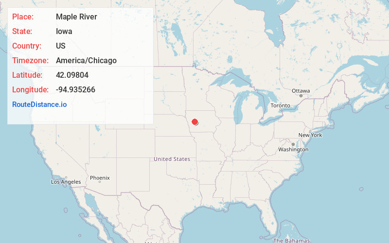
Full AddressMaple River, IA 51401
-
Coordinates42.0980404, -94.9352659
-
LocationMaple River , Iowa , US
-
TimezoneAmerica/Chicago
-
Current Local Time3:17:44 PM America/ChicagoSunday, June 15, 2025
-
Page Views0
About Maple River
Maple River is an unincorporated community in Carroll County, in the U.S. state of Iowa.
Nearby Places
Found 10 places within 50 miles

Mt Carmel
4.0 mi
6.4 km
Mt Carmel, IA 51401
Get directions

Carroll
4.1 mi
6.6 km
Carroll, IA 51401
Get directions
Arcadia
5.7 mi
9.2 km
Arcadia, IA 51430
Get directions
Breda
6.2 mi
10.0 km
Breda, IA 51436
Get directions
Halbur
6.5 mi
10.5 km
Halbur, IA
Get directions
Roselle
6.8 mi
10.9 km
Roselle, IA 51401
Get directions
Lidderdale
8.0 mi
12.9 km
Lidderdale, IA
Get directions
Westside
8.5 mi
13.7 km
Westside, IA 51467
Get directions

Willey
10.1 mi
16.3 km
Willey, IA 51401
Get directions
Glidden
11.0 mi
17.7 km
Glidden, IA 51443
Get directions
Location Links
Local Weather
Weather Information
Coming soon!
Location Map
Static map view of Maple River, Iowa
Browse Places by Distance
Places within specific distances from Maple River
Short Distances
Long Distances
Click any distance to see all places within that range from Maple River. Distances shown in miles (1 mile ≈ 1.61 kilometers).