Distance to Maple Shade, New Jersey

Calculating Your Route
Just a moment while we process your request...
Location Information
-
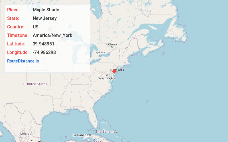
Full AddressMaple Shade, NJ
-
Coordinates39.9489512, -74.9862978
-
LocationMaple Shade , New Jersey , US
-
TimezoneAmerica/New_York
-
Current Local Time5:21:11 AM America/New_YorkWednesday, June 18, 2025
-
Page Views0
About Maple Shade
Maple Shade Township is a township in Burlington County, in the U.S. state of New Jersey. As of the 2020 United States census, the township's population was 19,980, an increase of 849 from the 2010 census count of 19,131, which in turn reflected an increase of 0.3% from the 19,079 counted in the 2000 census.


Nearby Places
Found 10 places within 50 miles

Moorestown
2.1 mi
3.4 km
Moorestown, NJ
Get directions

Mt Laurel Township
2.6 mi
4.2 km
Mt Laurel Township, NJ
Get directions

Cherry Hill Township
2.7 mi
4.3 km
Cherry Hill Township, NJ
Get directions

Pennsauken Township
4.0 mi
6.4 km
Pennsauken Township, NJ
Get directions

Evesham
6.1 mi
9.8 km
Evesham, NJ 08053
Get directions

Camden
6.9 mi
11.1 km
Camden, NJ
Get directions

Voorhees Township
7.6 mi
12.2 km
Voorhees Township, NJ 08043
Get directions

Willingboro
7.9 mi
12.7 km
Willingboro, NJ
Get directions

Gloucester City
8.1 mi
13.0 km
Gloucester City, NJ
Get directions

Lindenwold
9.0 mi
14.5 km
Lindenwold, NJ
Get directions
Location Links
Local Weather
Weather Information
Coming soon!
Location Map
Static map view of Maple Shade, New Jersey
Browse Places by Distance
Places within specific distances from Maple Shade
Short Distances
Long Distances
Click any distance to see all places within that range from Maple Shade. Distances shown in miles (1 mile ≈ 1.61 kilometers).