Distance to Maple Springs, New York

Calculating Your Route
Just a moment while we process your request...
Location Information
-
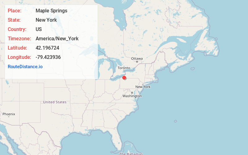
Full AddressMaple Springs, NY 14712
-
Coordinates42.1967243, -79.4239362
-
LocationMaple Springs , New York , US
-
TimezoneAmerica/New_York
-
Current Local Time11:45:19 AM America/New_YorkMonday, June 23, 2025
-
Page Views0
About Maple Springs
Maple Springs is a hamlet located within the Town of Ellery in Chautauqua County, New York, United States at an elevation of 1,312 feet above sea level. It is situated along the east shore of Chautauqua Lake, between the villages of Mayville and Bemus Point. New York State Route 430 passes through the hamlet.
Nearby Places
Found 10 places within 50 miles

West Ellery
1.3 mi
2.1 km
West Ellery, NY 14712
Get directions

Chautauqua
2.4 mi
3.9 km
Chautauqua, NY 14757
Get directions

Bemus Point
2.9 mi
4.7 km
Bemus Point, NY 14712
Get directions
Wahmeda
3.1 mi
5.0 km
Wahmeda, Chautauqua, NY 14757
Get directions
Dewittville
3.1 mi
5.0 km
Dewittville, NY 14728
Get directions
Hadley Bay
3.4 mi
5.5 km
Hadley Bay, North Harmony, NY 14710
Get directions
Oriental Park
3.5 mi
5.6 km
Oriental Park, Ellery, NY 14712
Get directions
Elm Tree
3.8 mi
6.1 km
Elm Tree, North Harmony, NY 14710
Get directions
Connelly Park
3.9 mi
6.3 km
Connelly Park, North Harmony, NY 14710
Get directions
Phillips Mills
4.0 mi
6.4 km
Phillips Mills, Ellery, NY 14712
Get directions
Location Links
Local Weather
Weather Information
Coming soon!
Location Map
Static map view of Maple Springs, New York
Browse Places by Distance
Places within specific distances from Maple Springs
Short Distances
Long Distances
Click any distance to see all places within that range from Maple Springs. Distances shown in miles (1 mile ≈ 1.61 kilometers).