Distance to Mapps, Nebraska

Calculating Your Route
Just a moment while we process your request...
Location Information
-
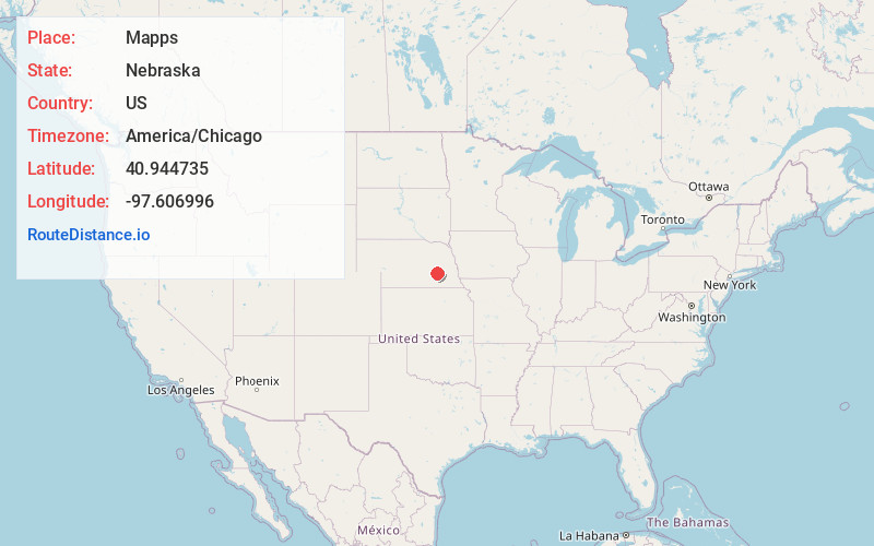
Full AddressMapps, Lockridge Precinct, NE 68467
-
Coordinates40.9447353, -97.6069963
-
LocationLockridge Precinct , Nebraska , US
-
TimezoneAmerica/Chicago
-
Current Local Time4:51:23 AM America/ChicagoSunday, June 22, 2025
-
Page Views0
Nearby Places
Found 10 places within 50 miles

Benedict
4.2 mi
6.8 km
Benedict, NE 68316
Get directions

York
5.4 mi
8.7 km
York, NE 68467
Get directions
Thayer
6.0 mi
9.7 km
Thayer, NE 68460
Get directions

Waco
8.3 mi
13.4 km
Waco, NE 68460
Get directions
Bradshaw
8.4 mi
13.5 km
Bradshaw, NE 68319
Get directions
Arborville
10.3 mi
16.6 km
Arborville, NE 68654
Get directions
Stromsburg
11.8 mi
19.0 km
Stromsburg, NE 68666
Get directions
Gresham
12.1 mi
19.5 km
Gresham, NE 68367
Get directions

Polk
12.9 mi
20.8 km
Polk, NE 68654
Get directions
McCool Junction
13.9 mi
22.4 km
McCool Junction, NE 68401
Get directions
Location Links
Local Weather
Weather Information
Coming soon!
Location Map
Static map view of Mapps, Nebraska
Browse Places by Distance
Places within specific distances from Mapps
Short Distances
Long Distances
Click any distance to see all places within that range from Mapps. Distances shown in miles (1 mile ≈ 1.61 kilometers).