Distance to Marienthal, Kansas

Calculating Your Route
Just a moment while we process your request...
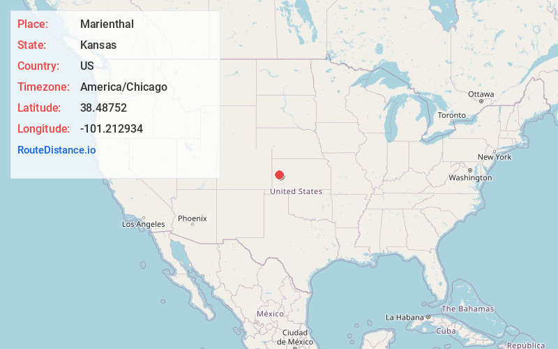
Location Information
-
Full AddressMarienthal, KS 67863
-
Coordinates38.4875203, -101.2129336
-
LocationMarienthal , Kansas , US
-
TimezoneAmerica/Chicago
-
Current Local Time12:22:28 AM America/ChicagoThursday, June 19, 2025
-
Page Views0
About Marienthal
Marienthal is a census-designated place in Wichita County, Kansas, United States. As of the 2020 census, the population was 64.
Nearby Places
Found 10 places within 50 miles

Leoti
7.9 mi
12.7 km
Leoti, KS 67861
Get directions

Scott City
16.5 mi
26.6 km
Scott City, KS 67871
Get directions

Tribune
29.2 mi
47.0 km
Tribune, KS 67879
Get directions

Horace
31.3 mi
50.4 km
Horace, KS 67879
Get directions
Healy
33.2 mi
53.4 km
Healy, KS 67850
Get directions
Deerfield
35.4 mi
57.0 km
Deerfield, KS 67838
Get directions
Wallace
35.7 mi
57.5 km
Wallace, KS 67761
Get directions

Holcomb
36.7 mi
59.1 km
Holcomb, KS 67851
Get directions

Lakin
37.9 mi
61.0 km
Lakin, KS 67860
Get directions
Winona
39.8 mi
64.1 km
Winona, KS 67764
Get directions
Location Links
Local Weather
Weather Information
Coming soon!
Location Map
Static map view of Marienthal, Kansas
Browse Places by Distance
Places within specific distances from Marienthal
Short Distances
Long Distances
Click any distance to see all places within that range from Marienthal. Distances shown in miles (1 mile ≈ 1.61 kilometers).