Distance to Markles, Indiana

Calculating Your Route
Just a moment while we process your request...
Location Information
-
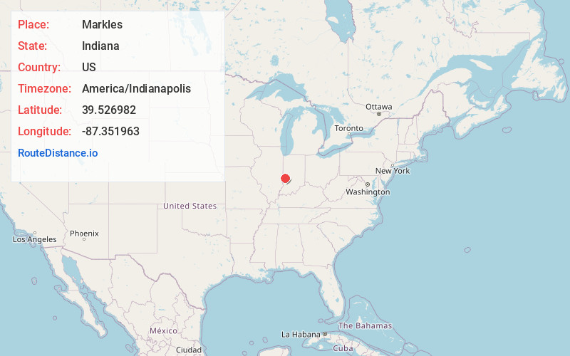
Full AddressMarkles, North Terre Haute, IN 47805
-
Coordinates39.5269815, -87.3519634
-
LocationNorth Terre Haute , Indiana , US
-
TimezoneAmerica/Indianapolis
-
Page Views0
About Markles
Markles is an unincorporated community in southern Otter Creek Township, Vigo County, in the U.S. state of Indiana. Within the boundaries of Terre Haute, it is also part of the Terre Haute metropolitan area.
The town is home to Markles Cemetery.
Nearby Places
Found 10 places within 50 miles

Burnett
3.2 mi
5.1 km
Burnett, IN 47805
Get directions

Deming Park
4.2 mi
6.8 km
Deming Park, Terre Haute, IN 47803
Get directions

Tecumseh
4.5 mi
7.2 km
Tecumseh, IN 47885
Get directions
Barnhart Town
4.7 mi
7.6 km
Barnhart Town, IN 47885
Get directions

Seelyville
5.1 mi
8.2 km
Seelyville, IN 47803
Get directions

Terre Haute
5.4 mi
8.7 km
Terre Haute, IN
Get directions

Marion Heights
5.5 mi
8.9 km
Marion Heights, IN 47885
Get directions
Atherton
5.6 mi
9.0 km
Atherton, IN 47874
Get directions
Swalls
5.7 mi
9.2 km
Swalls, Lost Creek Township, IN 47803
Get directions
Whitcomb Heights
6.1 mi
9.8 km
Whitcomb Heights, IN 47885
Get directions
Location Links
Local Weather
Weather Information
Coming soon!
Location Map
Static map view of Markles, Indiana
Browse Places by Distance
Places within specific distances from Markles
Short Distances
Long Distances
Click any distance to see all places within that range from Markles. Distances shown in miles (1 mile ≈ 1.61 kilometers).