Distance to Marlboro, New York

Calculating Your Route
Just a moment while we process your request...
Location Information
-
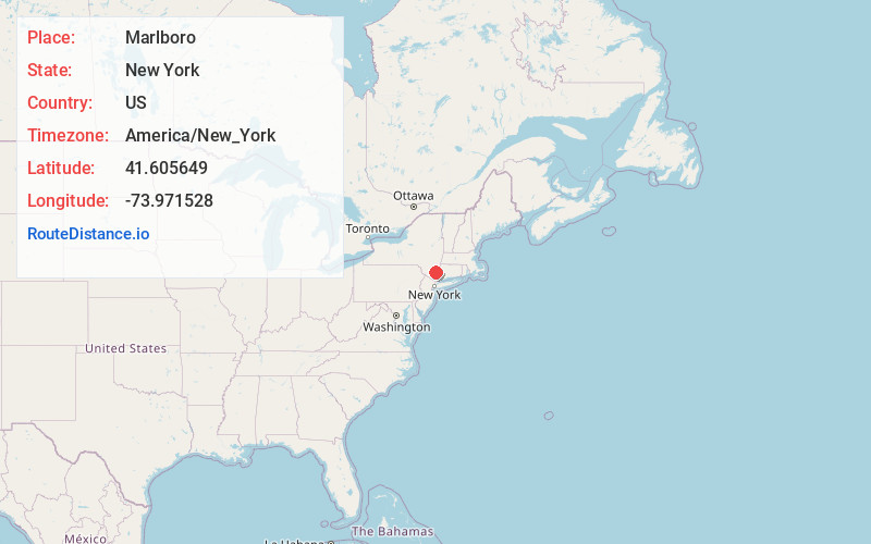
Full AddressMarlboro, NY 12542
-
Coordinates41.6056492, -73.9715276
-
LocationMarlboro , New York , US
-
TimezoneAmerica/New_York
-
Current Local Time12:54:34 AM America/New_YorkFriday, June 20, 2025
-
Page Views0
About Marlboro
Marlboro is a hamlet in Ulster County, New York, United States. The population was 3,669 at the 2020 census. Marlboro is in the southeastern part of the town of Marlborough, located in the southeastern corner of the county.


Nearby Places
Found 10 places within 50 miles

Marlborough
2.0 mi
3.2 km
Marlborough, NY
Get directions

Wappingers Falls
3.2 mi
5.1 km
Wappingers Falls, NY 12590
Get directions
Spackenkill
4.6 mi
7.4 km
Spackenkill, NY
Get directions

Plattekill
4.7 mi
7.6 km
Plattekill, NY
Get directions

Myers Corner
5.1 mi
8.2 km
Myers Corner, NY
Get directions

Balmville
5.9 mi
9.5 km
Balmville, NY 12550
Get directions
Red Oaks Mill
6.1 mi
9.8 km
Red Oaks Mill, NY 12603
Get directions

Fishkill
6.1 mi
9.8 km
Fishkill, NY 12524
Get directions
Gardnertown
7.1 mi
11.4 km
Gardnertown, NY 12550
Get directions

Poughkeepsie
7.3 mi
11.7 km
Poughkeepsie, NY
Get directions
Location Links
Local Weather
Weather Information
Coming soon!
Location Map
Static map view of Marlboro, New York
Browse Places by Distance
Places within specific distances from Marlboro
Short Distances
Long Distances
Click any distance to see all places within that range from Marlboro. Distances shown in miles (1 mile ≈ 1.61 kilometers).