Distance to Marlow, Tennessee

Calculating Your Route
Just a moment while we process your request...
Location Information
-
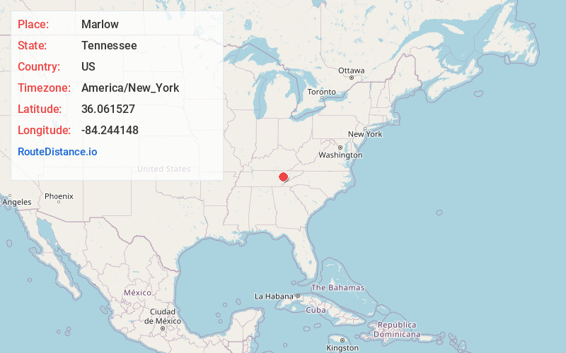
Full AddressMarlow, TN 37716
-
Coordinates36.061527, -84.244148
-
LocationMarlow , Tennessee , US
-
TimezoneAmerica/New_York
-
Current Local Time4:03:16 AM America/New_YorkWednesday, June 18, 2025
-
Page Views0
About Marlow
Marlow is an unincorporated community in Anderson County, Tennessee.
Marlow is in the valley of Poplar Creek, between Clinton to the northeast and Oliver Springs to the southwest. Oak Ridge is south of Marlow. Tennessee State Route 61 runs through the Marlow community.
Nearby Places
Found 10 places within 50 miles

Dossett
1.1 mi
1.8 km
Dossett, TN 37716
Get directions
Batley
3.3 mi
5.3 km
Batley, TN 37716
Get directions

Oak Ridge
3.8 mi
6.1 km
Oak Ridge, TN
Get directions
Valley View Heights
5.4 mi
8.7 km
Valley View Heights, TN 37716
Get directions
Raccoon Valley
5.6 mi
9.0 km
Raccoon Valley, Tennessee 37716
Get directions
Tupper Town
5.7 mi
9.2 km
Tupper Town, Oliver Springs, TN 37840
Get directions

Oliver Springs
5.7 mi
9.2 km
Oliver Springs, TN
Get directions

Clinton
6.9 mi
11.1 km
Clinton, TN 37716
Get directions
Seeber Flats
7.6 mi
12.2 km
Seeber Flats, TN 37710
Get directions
King Arthur Court
8.4 mi
13.5 km
King Arthur Court, TN 37931
Get directions
Location Links
Local Weather
Weather Information
Coming soon!
Location Map
Static map view of Marlow, Tennessee
Browse Places by Distance
Places within specific distances from Marlow
Short Distances
Long Distances
Click any distance to see all places within that range from Marlow. Distances shown in miles (1 mile ≈ 1.61 kilometers).