Distance to Marquette, Kansas

Calculating Your Route
Just a moment while we process your request...
Location Information
-
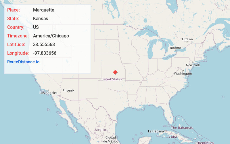
Full AddressMarquette, KS 67464
-
Coordinates38.5555632, -97.8336559
-
LocationMarquette , Kansas , US
-
TimezoneAmerica/Chicago
-
Current Local Time1:55:02 PM America/ChicagoTuesday, June 24, 2025
-
Website
-
Page Views0
About Marquette
Marquette is a city in McPherson County, Kansas, United States. As of the 2020 census, the population of the city was 599. It is located between K-4 and the Smoky Hill River.


Nearby Places
Found 10 places within 50 miles

Lindsborg
8.7 mi
14.0 km
Lindsborg, KS 67456
Get directions

McPherson
15.7 mi
25.3 km
McPherson, KS 67460
Get directions

Galva
20.0 mi
32.2 km
Galva, KS 67443
Get directions

Inman
22.6 mi
36.4 km
Inman, KS 67546
Get directions

Salina
23.0 mi
37.0 km
Salina, KS
Get directions

Ellsworth
24.5 mi
39.4 km
Ellsworth, KS 67439
Get directions

Lyons
24.7 mi
39.8 km
Lyons, KS 67554
Get directions

Buhler
29.3 mi
47.2 km
Buhler, KS 67522
Get directions
Moundridge
29.7 mi
47.8 km
Moundridge, KS 67107
Get directions

Sterling
31.3 mi
50.4 km
Sterling, KS 67579
Get directions
Location Links
Local Weather
Weather Information
Coming soon!
Location Map
Static map view of Marquette, Kansas
Browse Places by Distance
Places within specific distances from Marquette
Short Distances
Long Distances
Click any distance to see all places within that range from Marquette. Distances shown in miles (1 mile ≈ 1.61 kilometers).