Distance to Marr, Ohio

Calculating Your Route
Just a moment while we process your request...
Location Information
-
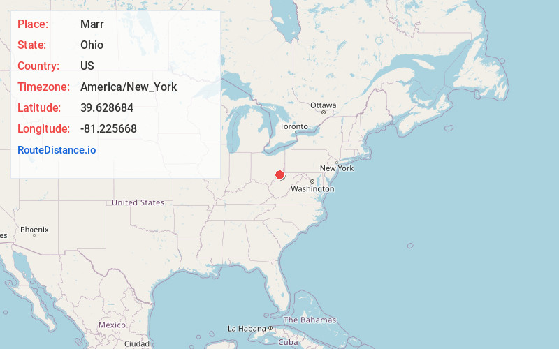
Full AddressMarr, Bethel Township, OH 45745
-
Coordinates39.6286843, -81.225668
-
LocationBethel Township , Ohio , US
-
TimezoneAmerica/New_York
-
Current Local Time10:56:38 PM America/New_YorkWednesday, June 25, 2025
-
Page Views0
Nearby Places
Found 10 places within 50 miles

Graham
2.3 mi
3.7 km
Graham, Washington Township, OH 45734
Get directions
Way
2.4 mi
3.9 km
Way, Washington Township, OH 45734
Get directions
Sycamore Valley
2.8 mi
4.5 km
Sycamore Valley, OH 43754
Get directions
Sprague
3.5 mi
5.6 km
Sprague, Bethel Township, OH 45734
Get directions

Graysville
3.8 mi
6.1 km
Graysville, OH 45734
Get directions
Cline
3.8 mi
6.1 km
Cline, Washington Township, OH 45767
Get directions
Hartshorn Ridge
4.8 mi
7.7 km
Hartshorn Ridge, Wayne Township, OH 45734
Get directions

Rinard Mills
4.8 mi
7.7 km
Rinard Mills, OH 45734
Get directions
Poulton
5.7 mi
9.2 km
Poulton, Benton Township, OH 45767
Get directions
Flag
5.8 mi
9.3 km
Flag, Elk Township, OH 45745
Get directions
Location Links
Local Weather
Weather Information
Coming soon!
Location Map
Static map view of Marr, Ohio
Browse Places by Distance
Places within specific distances from Marr
Short Distances
Long Distances
Click any distance to see all places within that range from Marr. Distances shown in miles (1 mile ≈ 1.61 kilometers).