Distance to Marsh Creek Springs, California

Calculating Your Route
Just a moment while we process your request...
Location Information
-
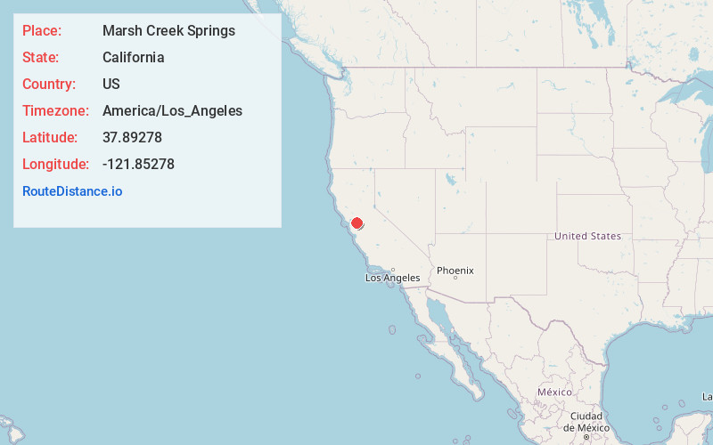
Full AddressMarsh Creek Springs, CA 94517
-
Coordinates37.89278, -121.85278
-
LocationMarsh Creek Springs , California , US
-
TimezoneAmerica/Los_Angeles
-
Current Local Time10:31:17 PM America/Los_AngelesThursday, June 26, 2025
-
Page Views0
About Marsh Creek Springs
Marsh Creek Springs was a private recreational facility in Contra Costa County, California. It was developed in 1927 by Gerald L. Gill on 90 acres alongside Marsh Creek. The facility included two swimming pools, wading pools, a livery stable, a dance hall and four baseball diamonds.

Nearby Places
Found 10 places within 50 miles

Clayton
5.6 mi
9.0 km
Clayton, CA
Get directions

Blackhawk
6.0 mi
9.7 km
Blackhawk, CA 94506
Get directions

Camino Tassajara
6.9 mi
11.1 km
Camino Tassajara, CA 94506
Get directions

Diablo
7.0 mi
11.3 km
Diablo, CA
Get directions

North Gate
7.9 mi
12.7 km
North Gate, CA 94598
Get directions

Antioch
8.2 mi
13.2 km
Antioch, CA
Get directions

Brentwood
9.0 mi
14.5 km
Brentwood, CA 94513
Get directions

Danville
9.4 mi
15.1 km
Danville, CA
Get directions

Pittsburg
9.5 mi
15.3 km
Pittsburg, CA
Get directions
Shell Ridge
9.9 mi
15.9 km
Shell Ridge, CA 94598
Get directions
Location Links
Local Weather
Weather Information
Coming soon!
Location Map
Static map view of Marsh Creek Springs, California
Browse Places by Distance
Places within specific distances from Marsh Creek Springs
Short Distances
Long Distances
Click any distance to see all places within that range from Marsh Creek Springs. Distances shown in miles (1 mile ≈ 1.61 kilometers).