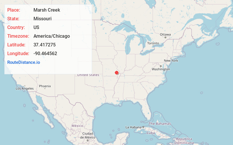
Distance to Marsh Creek, Missouri

Calculating Your Route
Just a moment while we process your request...
Location Information
-
Full AddressMarsh Creek, Liberty Township, MO 63620
-
Coordinates37.4172745, -90.4645621
-
LocationLiberty Township , Missouri , US
-
TimezoneAmerica/Chicago
-
Current Local Time10:35:53 PM America/ChicagoThursday, June 19, 2025
-
Page Views0
Nearby Places
Found 10 places within 50 miles

Wide Ford
1.1 mi
1.8 km
Wide Ford, MO 63620
Get directions
Faro
2.5 mi
4.0 km
Faro, Central Township, MO 63645
Get directions
Varsh Ford
3.0 mi
4.8 km
Varsh Ford, MO 63620
Get directions
Saco
3.8 mi
6.1 km
Saco, Twelvemile Township, MO 63645
Get directions
Shelton Ford
4.6 mi
7.4 km
Shelton Ford, Liberty Township, MO 63636
Get directions
Zion
8.5 mi
13.7 km
Zion, MO 63645
Get directions
Brunot
8.7 mi
14.0 km
Brunot, MO 63636
Get directions
Cherokee Pass
10.1 mi
16.3 km
Cherokee Pass, MO 63645
Get directions
Lodi
11.1 mi
17.9 km
Lodi, MO 63964
Get directions
Cobalt
13.2 mi
21.2 km
Cobalt, MO 63645
Get directions
Location Links
Local Weather
Weather Information
Coming soon!
Location Map
Static map view of Marsh Creek, Missouri
Browse Places by Distance
Places within specific distances from Marsh Creek
Short Distances
Long Distances
Click any distance to see all places within that range from Marsh Creek. Distances shown in miles (1 mile ≈ 1.61 kilometers).