Distance to Marshall Springs, Texas

Calculating Your Route
Just a moment while we process your request...
Location Information
-
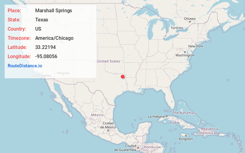
Full AddressMarshall Springs, TX 75455
-
Coordinates33.2219399, -95.08056
-
LocationMarshall Springs , Texas , US
-
TimezoneAmerica/Chicago
-
Current Local Time7:56:57 AM America/ChicagoSunday, June 22, 2025
-
Page Views0
About Marshall Springs
Marshall Springs is an unincorporated community in Titus County, in the U.S. state of Texas. Marshall Springs is seven miles northwest of the county seat, Mount Pleasant, located on two county roads, and with no reliable source of history, lacks a known population figure.
Nearby Places
Found 10 places within 50 miles

Winfield
4.2 mi
6.8 km
Winfield, TX
Get directions
Daphne
4.2 mi
6.8 km
Daphne, TX 75487
Get directions
Miller's Cove
5.0 mi
8.0 km
Miller's Cove, TX
Get directions

Mt Pleasant
7.9 mi
12.7 km
Mt Pleasant, TX
Get directions

Mt Vernon
8.5 mi
13.7 km
Mt Vernon, TX 75457
Get directions
Monticello
8.7 mi
14.0 km
Monticello, TX 75455
Get directions
Macon
9.6 mi
15.4 km
Macon, TX 75457
Get directions

Talco
9.8 mi
15.8 km
Talco, TX 75487
Get directions
Maple Springs
10.2 mi
16.4 km
Maple Springs, TX 75487
Get directions
Blodgett
10.7 mi
17.2 km
Blodgett, TX 75457
Get directions
Location Links
Local Weather
Weather Information
Coming soon!
Location Map
Static map view of Marshall Springs, Texas
Browse Places by Distance
Places within specific distances from Marshall Springs
Short Distances
Long Distances
Click any distance to see all places within that range from Marshall Springs. Distances shown in miles (1 mile ≈ 1.61 kilometers).