Distance to Marshall, Ohio

Calculating Your Route
Just a moment while we process your request...
Location Information
-
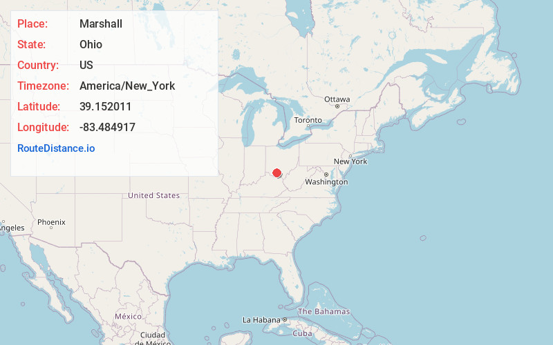
Full AddressMarshall, OH 45133
-
Coordinates39.1520107, -83.4849165
-
LocationMarshall , Ohio , US
-
TimezoneAmerica/New_York
-
Current Local Time6:18:14 PM America/New_YorkFriday, June 13, 2025
-
Page Views0
About Marshall
Marshall is an unincorporated community in central Marshall Township, Highland County, Ohio, United States. It lies at the intersection of State Routes 124 and 506. Rocky Fork Lake, the site of Rocky Fork State Park, is located 2 miles to the north.
Nearby Places
Found 10 places within 50 miles

South Beach
2.2 mi
3.5 km
South Beach, Marshall Township, OH 45133
Get directions
Harriett
2.2 mi
3.5 km
Harriett, Marshall Township, OH 45133
Get directions
Beaver Mill
4.2 mi
6.8 km
Beaver Mill, Brushcreek Township, OH 45133
Get directions
Berrysville
4.3 mi
6.9 km
Berrysville, Washington Township, OH 45133
Get directions
Lincolnville
5.8 mi
9.3 km
Lincolnville, OH 45133
Get directions
Rainsboro
5.8 mi
9.3 km
Rainsboro, OH 45612
Get directions
Elmville
6.3 mi
10.1 km
Elmville, Brushcreek Township, OH 45133
Get directions
Belfast
6.7 mi
10.8 km
Belfast, OH 45133
Get directions
Cynthiana
7.5 mi
12.1 km
Cynthiana, OH
Get directions
Sinking Spring
7.6 mi
12.2 km
Sinking Spring, OH
Get directions
Location Links
Local Weather
Weather Information
Coming soon!
Location Map
Static map view of Marshall, Ohio
Browse Places by Distance
Places within specific distances from Marshall
Short Distances
Long Distances
Click any distance to see all places within that range from Marshall. Distances shown in miles (1 mile ≈ 1.61 kilometers).