Distance to Marshfield, Missouri

Calculating Your Route
Just a moment while we process your request...
Location Information
-
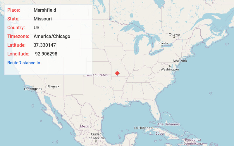
Full AddressMarshfield, MO 65706
-
Coordinates37.3301471, -92.9062975
-
LocationMarshfield , Missouri , US
-
TimezoneAmerica/Chicago
-
Current Local Time2:59:54 PM America/ChicagoSunday, June 22, 2025
-
Page Views0
About Marshfield
Marshfield is a city in and the county seat of Webster County, Missouri. As of the 2010 census, the city population was 6,633. As of the 2020 census, Marshfield had a population of 7,458. It is part of the Springfield, Missouri, metropolitan area.


Nearby Places
Found 7 places within 50 miles

Springfield
22.8 mi
36.7 km
Springfield, MO
Get directions

Ozark
27.0 mi
43.5 km
Ozark, MO
Get directions

Lebanon
27.6 mi
44.4 km
Lebanon, MO 65536
Get directions

Nixa
29.1 mi
46.8 km
Nixa, MO 65714
Get directions

Bolivar
33.9 mi
54.6 km
Bolivar, MO 65613
Get directions

Republic
34.8 mi
56.0 km
Republic, MO
Get directions

Fort Leonard Wood
49.0 mi
78.9 km
Fort Leonard Wood, MO
Get directions
Location Links
Local Weather
Weather Information
Coming soon!
Location Map
Static map view of Marshfield, Missouri
Browse Places by Distance
Places within specific distances from Marshfield
Short Distances
Long Distances
Click any distance to see all places within that range from Marshfield. Distances shown in miles (1 mile ≈ 1.61 kilometers).