Distance to Martell, Nebraska

Calculating Your Route
Just a moment while we process your request...
Location Information
-
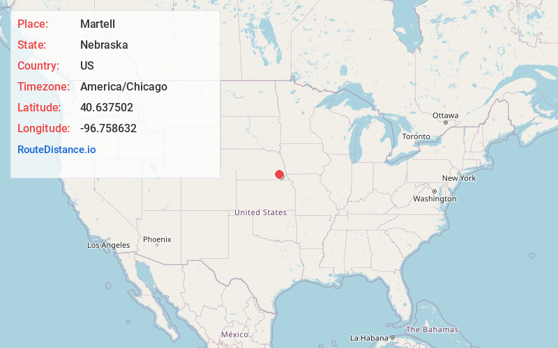
Full AddressMartell, NE 68404
-
Coordinates40.6375021, -96.7586323
-
LocationMartell , Nebraska , US
-
TimezoneAmerica/Chicago
-
Current Local Time3:34:00 PM America/ChicagoMonday, May 19, 2025
-
Page Views0
About Martell
Martell is an unincorporated community in southwestern Lancaster County, Nebraska, United States. It lies along local roads southwest of the city of Lincoln, the county seat of Lancaster County and Nebraska's state capital. Although Martell is unincorporated, it has a post office, with the ZIP code of 68404.
Nearby Places
Found 10 places within 50 miles

Princeton
5.2 mi
8.4 km
Princeton, NE 68404
Get directions

Roca
5.3 mi
8.5 km
Roca, NE 68430
Get directions

Hickman
6.8 mi
10.9 km
Hickman, NE 68372
Get directions

Hallam
7.1 mi
11.4 km
Hallam, NE 68368
Get directions

Denton
8.3 mi
13.4 km
Denton, NE 68339
Get directions

Cortland
9.5 mi
15.3 km
Cortland, NE 68331
Get directions

Cheney
10.5 mi
16.9 km
Cheney, NE 68526
Get directions

Crete
10.7 mi
17.2 km
Crete, NE 68333
Get directions

Firth
10.7 mi
17.2 km
Firth, NE 68358
Get directions

Lincoln
12.5 mi
20.1 km
Lincoln, NE
Get directions
Location Links
Local Weather
Weather Information
Coming soon!
Location Map
Static map view of Martell, Nebraska
Browse Places by Distance
Places within specific distances from Martell
Short Distances
Long Distances
Click any distance to see all places within that range from Martell. Distances shown in miles (1 mile ≈ 1.61 kilometers).