Distance to Martelle, Iowa

Calculating Your Route
Just a moment while we process your request...
Location Information
-
Full AddressMartelle, IA
-
Coordinates42.0216714, -91.3598896
-
LocationMartelle , Iowa , US
-
TimezoneAmerica/Chicago
-
Current Local Time4:55:24 PM America/ChicagoFriday, June 27, 2025
-
Page Views0
About Martelle
Martelle, Iowa is a city in Jones County, Iowa, United States. The population was 249 at the time of the 2020 census. It is part of the Cedar Rapids Metropolitan Statistical Area.
Nearby Places
Found 10 places within 50 miles

Springville
5.0 mi
8.0 km
Springville, IA 52336
Get directions

Lisbon
7.1 mi
11.4 km
Lisbon, IA
Get directions

Anamosa
7.1 mi
11.4 km
Anamosa, IA 52205
Get directions

Mt Vernon
7.5 mi
12.1 km
Mt Vernon, IA 52314
Get directions

Mechanicsville
9.8 mi
15.8 km
Mechanicsville, IA 52306
Get directions

Olin
11.3 mi
18.2 km
Olin, IA 52320
Get directions

Marion
12.2 mi
19.6 km
Marion, IA
Get directions

Stanwood
13.9 mi
22.4 km
Stanwood, IA 52337
Get directions

Central City
15.1 mi
24.3 km
Central City, IA 52214
Get directions
Ely
15.4 mi
24.8 km
Ely, IA 52227
Get directions
Location Links
Local Weather
Weather Information
Coming soon!
Location Map
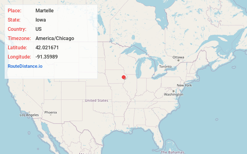
Static map view of Martelle, Iowa
Browse Places by Distance
Places within specific distances from Martelle
Short Distances
Long Distances
Click any distance to see all places within that range from Martelle. Distances shown in miles (1 mile ≈ 1.61 kilometers).