Distance to Marthatown, West Virginia

Calculating Your Route
Just a moment while we process your request...
Location Information
-
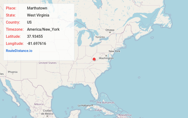
Full AddressMarthatown, WV 25021
-
Coordinates37.93455, -81.6976161
-
LocationWest Virginia , US
-
TimezoneAmerica/New_York
-
Current Local Time7:36:05 AM America/New_YorkSaturday, June 21, 2025
-
Page Views0
About Marthatown
Marthatown is an unincorporated community in Boone County, West Virginia, United States. At one time it was also known as Kelcol.
Nearby Places
Found 10 places within 50 miles

Bim
1.0 mi
1.6 km
Bim, WV
Get directions

Pond Fork
1.0 mi
1.6 km
Pond Fork, West Virginia
Get directions

Van
2.7 mi
4.3 km
Van, WV
Get directions
Marnie
2.7 mi
4.3 km
Marnie, WV 25204
Get directions
Bandytown
3.2 mi
5.1 km
Bandytown, WV 25093
Get directions
Twilight
4.1 mi
6.6 km
Twilight, WV 25204
Get directions
Bigson
4.2 mi
6.8 km
Bigson, WV 25130
Get directions
Lindytown
5.6 mi
9.0 km
Lindytown, WV 25204
Get directions
Clothier
6.2 mi
10.0 km
Clothier, WV 25047
Get directions
Coal Valley
6.5 mi
10.5 km
Coal Valley, WV 25183
Get directions
Location Links
Local Weather
Weather Information
Coming soon!
Location Map
Static map view of Marthatown, West Virginia
Browse Places by Distance
Places within specific distances from Marthatown
Short Distances
Long Distances
Click any distance to see all places within that range from Marthatown. Distances shown in miles (1 mile ≈ 1.61 kilometers).