Distance to Martland, Nebraska

Calculating Your Route
Just a moment while we process your request...
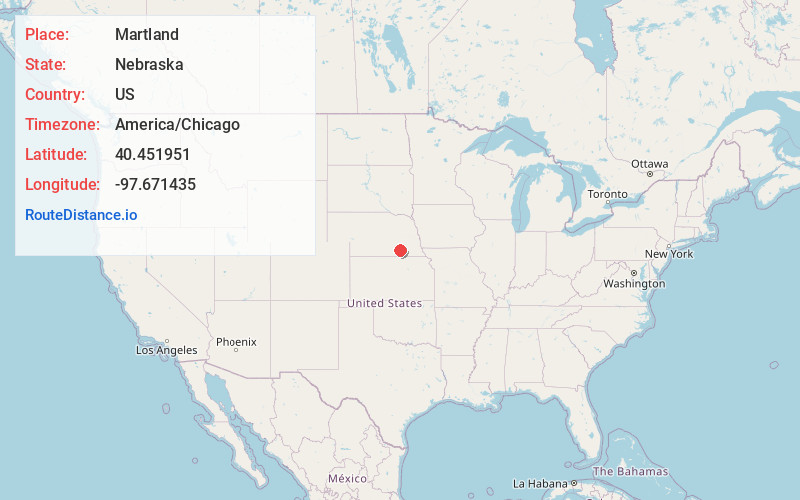
Location Information
-
Full AddressMartland, Stanton Township, NE 68436
-
Coordinates40.4519512, -97.6714349
-
LocationStanton Township , Nebraska , US
-
TimezoneAmerica/Chicago
-
Current Local Time5:25:37 AM America/ChicagoFriday, June 20, 2025
-
Page Views0
About Martland
Martland is an unincorporated community in Fillmore County, Nebraska, United States. It lies at an elevation of 1640 feet.
Nearby Places
Found 10 places within 50 miles

Shickley
3.7 mi
6.0 km
Shickley, NE 68436
Get directions
Strang
5.1 mi
8.2 km
Strang, NE 68444
Get directions

Geneva
6.5 mi
10.5 km
Geneva, NE 68361
Get directions
Ong
9.4 mi
15.1 km
Ong, NE 68452
Get directions

Bruning
9.7 mi
15.6 km
Bruning, NE 68322
Get directions
Carleton
10.6 mi
17.1 km
Carleton, NE 68326
Get directions
Ohiowa
11.8 mi
19.0 km
Ohiowa, NE 68416
Get directions

Davenport
12.1 mi
19.5 km
Davenport, NE 68335
Get directions
Grafton
12.5 mi
20.1 km
Grafton, NE 68365
Get directions
Fairmont
13.5 mi
21.7 km
Fairmont, NE 68354
Get directions
Location Links
Local Weather
Weather Information
Coming soon!
Location Map
Static map view of Martland, Nebraska
Browse Places by Distance
Places within specific distances from Martland
Short Distances
Long Distances
Click any distance to see all places within that range from Martland. Distances shown in miles (1 mile ≈ 1.61 kilometers).