Distance to Mason, Wisconsin

Calculating Your Route
Just a moment while we process your request...
Location Information
-
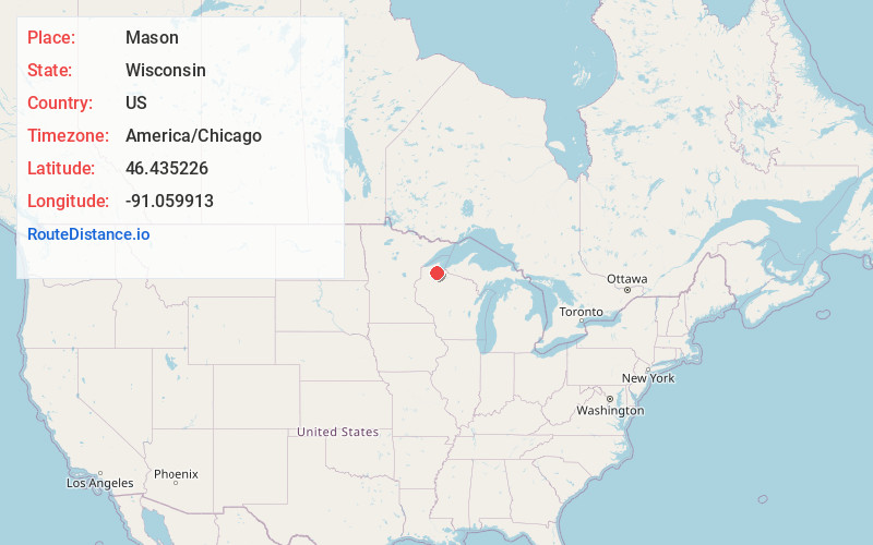
Full AddressMason, WI 54856
-
Coordinates46.4352259, -91.059913
-
LocationMason , Wisconsin , US
-
TimezoneAmerica/Chicago
-
Current Local Time3:14:55 AM America/ChicagoWednesday, June 18, 2025
-
Page Views1
About Mason
Mason is a village in Bayfield County, Wisconsin, United States. The population was 101 at the 2020 census. The village is located within the Town of Mason.
U.S. Highway 63 serves as a main route in the community.
Nearby Places
Found 10 places within 50 miles

Grand View
5.2 mi
8.4 km
Grand View, WI 54839
Get directions

Marengo
11.6 mi
18.7 km
Marengo, WI 54855
Get directions
Drummond
11.6 mi
18.7 km
Drummond, WI 54832
Get directions

Ashland
13.7 mi
22.0 km
Ashland, WI
Get directions

Washburn
18.2 mi
29.3 km
Washburn, WI 54891
Get directions

Iron River
18.8 mi
30.3 km
Iron River, WI 54847
Get directions

Cable
19.3 mi
31.1 km
Cable, WI 54821
Get directions
Mellen
20.5 mi
33.0 km
Mellen, WI 54546
Get directions

New Odanah
21.0 mi
33.8 km
New Odanah, WI 54806
Get directions
Franks Field
23.3 mi
37.5 km
Franks Field, WI 54806
Get directions
Location Links
Local Weather
Weather Information
Coming soon!
Location Map
Static map view of Mason, Wisconsin
Browse Places by Distance
Places within specific distances from Mason
Short Distances
Long Distances
Click any distance to see all places within that range from Mason. Distances shown in miles (1 mile ≈ 1.61 kilometers).