Distance to Mason Neck, Virginia

Calculating Your Route
Just a moment while we process your request...
Location Information
-
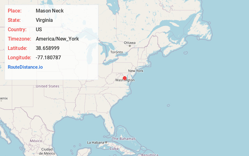
Full AddressMason Neck, VA 22079
-
Coordinates38.6589988, -77.1807871
-
LocationMason Neck , Virginia , US
-
TimezoneAmerica/New_York
-
Current Local Time5:56:59 PM America/New_YorkWednesday, June 18, 2025
-
Page Views0
About Mason Neck
Mason Neck is a peninsula jutting into the Potomac River in Fairfax County, Virginia, southwest of Washington, D.C.. It is surrounded by Belmont Bay to the west, the Potomac River to the south and east, Gunston Cove to the northeast, and Pohick Bay to the north-northeast.
Nearby Places
Found 10 places within 50 miles

Woodbridge
3.7 mi
6.0 km
Woodbridge, VA 22191
Get directions

Lorton
4.0 mi
6.4 km
Lorton, VA
Get directions

Indian Head
4.2 mi
6.8 km
Indian Head, MD 20640
Get directions

Fort Belvoir
4.4 mi
7.1 km
Fort Belvoir, VA
Get directions

Mt Vernon
5.4 mi
8.7 km
Mt Vernon, VA
Get directions

Newington
5.5 mi
8.9 km
Newington, VA
Get directions

Bryans Road
6.2 mi
10.0 km
Bryans Road, MD
Get directions

Crosspointe
6.4 mi
10.3 km
Crosspointe, VA
Get directions

Lake Ridge
6.6 mi
10.6 km
Lake Ridge, VA 22192
Get directions

Dale City
7.2 mi
11.6 km
Dale City, VA
Get directions
Location Links
Local Weather
Weather Information
Coming soon!
Location Map
Static map view of Mason Neck, Virginia
Browse Places by Distance
Places within specific distances from Mason Neck
Short Distances
Long Distances
Click any distance to see all places within that range from Mason Neck. Distances shown in miles (1 mile ≈ 1.61 kilometers).