Distance to Mast Landing, Maine

Calculating Your Route
Just a moment while we process your request...
Location Information
-
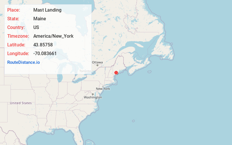
Full AddressMast Landing, Freeport, ME 04032
-
Coordinates43.85758, -70.0836612
-
NeighborhoodMast Landing
-
LocationFreeport , Maine , US
-
TimezoneAmerica/New_York
-
Current Local Time10:15:21 PM America/New_YorkThursday, May 29, 2025
-
Page Views0
Nearby Places
Found 10 places within 50 miles

Freeport
1.0 mi
1.6 km
Freeport, ME 04032
Get directions

Pownal
6.2 mi
10.0 km
Pownal, ME
Get directions

Harpswell
6.2 mi
10.0 km
Harpswell, ME
Get directions

Yarmouth
6.5 mi
10.5 km
Yarmouth, ME
Get directions

Brunswick
7.1 mi
11.4 km
Brunswick, ME 04011
Get directions

North Yarmouth
7.7 mi
12.4 km
North Yarmouth, ME 04097
Get directions

Topsham
8.0 mi
12.9 km
Topsham, ME 04086
Get directions

Chebeague Island
8.1 mi
13.0 km
Chebeague Island, ME
Get directions

Durham
8.2 mi
13.2 km
Durham, ME 04222
Get directions

Cumberland
9.7 mi
15.6 km
Cumberland, ME
Get directions
Location Links
Local Weather
Weather Information
Coming soon!
Location Map
Static map view of Mast Landing, Maine
Browse Places by Distance
Places within specific distances from Mast Landing
Short Distances
Long Distances
Click any distance to see all places within that range from Mast Landing. Distances shown in miles (1 mile ≈ 1.61 kilometers).